
Local News
Maharashtra forces evacuation of unsafe buildings after Bhiwandi tragedy
Maharashtra has ordered forced evacuation of dangerous buildings after the Bhiwandi Kohinoor Apartment collapse killed nearly 10 people.

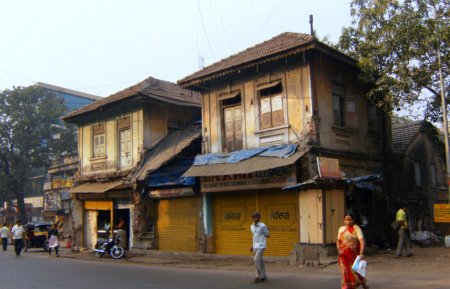
Maharashtra Chief Minister Devendra Fadnavis has ordered forced evacuations from C1-category dangerous buildings across the state after a Bhiwandi building collapse killed nearly 10 people.
The collapse took place around 11:30 pm on Thursday, July 31, 2026, at the Kohinoor Apartment in Gangaramwadi, Balaji Nagar, Bhiwandi, a four-storey structure previously declared dilapidated and rated C1, the highest danger category.
Reports say 25 to 30 families had already been moved out of the building before it collapsed, though some residents remained in the basement at the time.
Fadnavis instructed officials to evacuate all C1-rated buildings and permitted the use of force where required, while noting court-imposed limits on such measures.
Thane Municipal Corporation Commissioner Saurabh Rao issued a parallel directive for immediate re-inspection of deteriorated structures across Thane, ordering formal notices under Section 264 of the Maharashtra Municipal Corporations Act and the start of vacancy and demolition procedures for the most dangerous buildings.
Officials have also been authorised to cut electricity and water connections for residents refusing to leave marked buildings, and to provide temporary municipal shelter for those without alternative housing.
Rescue teams, including local fire brigade and disaster response personnel, worked through the night after the collapse to pull survivors and victims from the rubble of the Kohinoor Apartment.
Bhiwandi, an industrial town on the outskirts of Mumbai known for its powerloom textile industry, has seen several old and structurally weak buildings flagged as unsafe by municipal authorities in recent years.
The state government’s push follows a pattern seen in other Indian cities, where monsoon-season structural failures of ageing buildings have periodically prompted short-lived enforcement drives that often lapse once the rains end.
Under Section 264 of the Maharashtra Municipal Corporations Act, civic bodies can issue formal notices to residents of dangerous structures, informing them of safety risks and initiating vacancy and demolition procedures.
Photo by Rangakuvara, Wikimedia Commons, CC BY-SA 3.0


Local News
Chennai residents protest civic delays in Kodungaiyur, flag flood risk in Velachery
Residents in Chennai’s Kodungaiyur protested delays in road and sewer projects this week, while Velachery residents raised alarm over a malfunctioning canal causing flood risk.
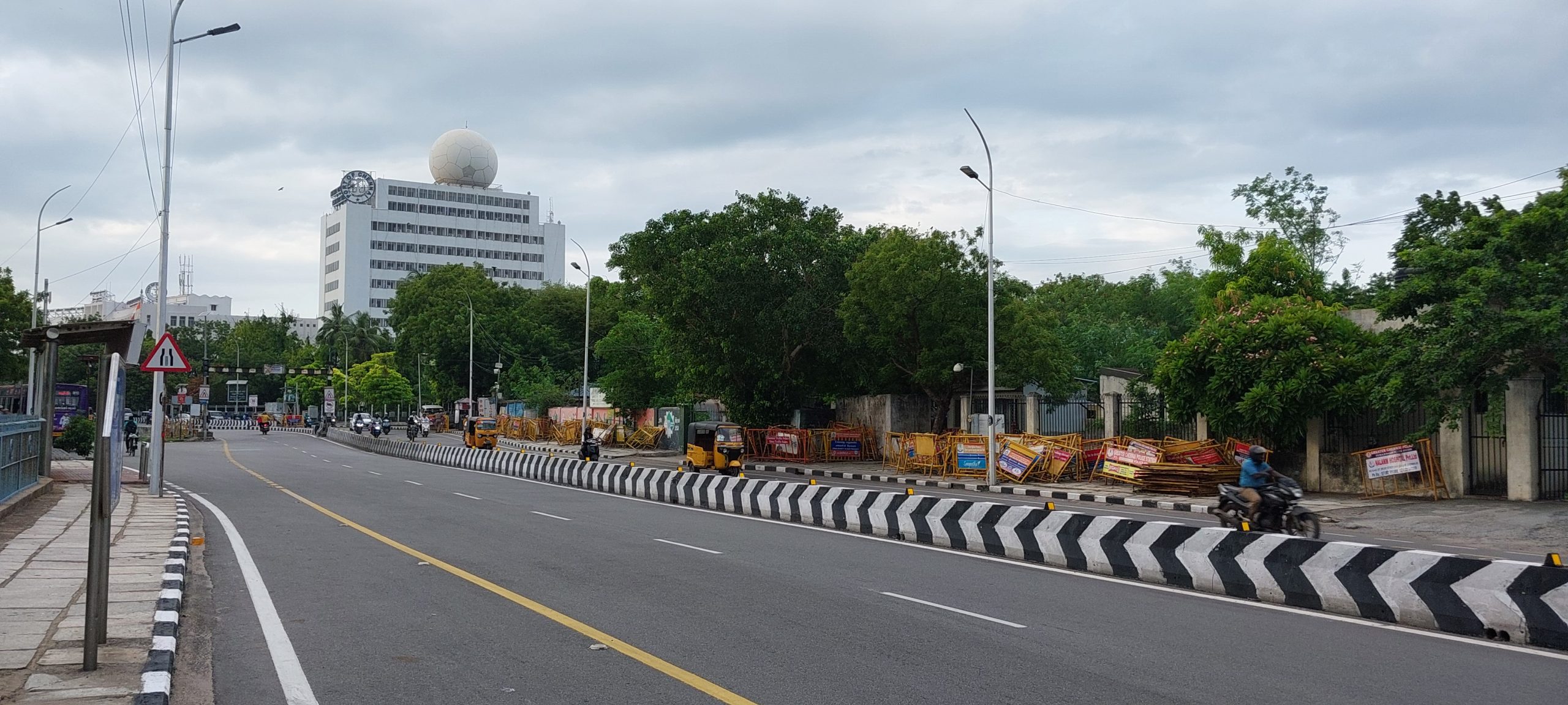
Residents in Chennai’s Kodungaiyur locality protested this week at the Perambur MLA’s office, demanding the timely completion of crucial civic infrastructure projects including roads, streetlights and a sewer network.
Locals said the delays in these basic infrastructure projects have persisted for an extended period, causing ongoing inconvenience to daily commuters and residents in the area.
In Velachery, residents separately raised concerns about flood risk stemming from a malfunctioning closed canal that has been causing water to flow backward into the neighbourhood during heavy rain.
Residents said the faulty canal infrastructure poses a significant safety threat, particularly given Chennai’s history of severe flooding during intense monsoon spells in recent years.
Both cases highlight a broader pattern of delayed civic development and infrastructure maintenance affecting several Chennai neighbourhoods.
Kodungaiyur residents said they have raised the same infrastructure concerns with local representatives on multiple previous occasions without seeing the promised work completed.
The Velachery canal issue reflects a broader concern shared by several Chennai neighbourhoods, where ageing stormwater drainage infrastructure has struggled to keep pace with the city’s urban growth.
No official timeline has yet been announced for either the Kodungaiyur infrastructure projects or repairs to the malfunctioning canal in Velachery.
Kodungaiyur falls under the Perambur assembly constituency in North Chennai, which is where the residents took their protest and demands for infrastructure completion this week.
Velachery, in South Chennai, is a rapidly developed residential and commercial hub, where the ageing closed canal system predates much of the area’s more recent growth in population and construction.
Chennai’s civic administration is managed by Greater Chennai Corporation, which oversees infrastructure works, drainage maintenance and road development across the city’s various zones, including both Kodungaiyur and Velachery.
Roads, streetlights and sewer networks of the kind residents in Kodungaiyur are demanding are typically funded through a mix of municipal budgets and state government infrastructure allocations, which can lead to delays when approvals span multiple departments.
Photo by Pinakpani, Wikimedia Commons, CC BY 4.0
Local News
Mumbai to see light rain, cloudy skies today: BMC issues tide advisory
Mumbai and its suburbs are expected to see partly cloudy skies with light rain today, as the BMC issues its tide timings and advises caution during high-tide hours.
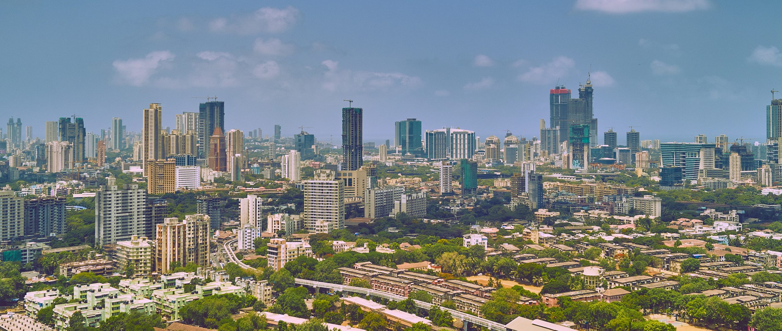
Mumbai and its suburbs are likely to witness partly cloudy skies with occasional light rain on Saturday, August 22, according to the city’s weather outlook.
The Brihanmumbai Municipal Corporation has issued its tide report for the day, listing a low tide at 2:55 pm, with the sea expected to recede to a height of 2.61 metres.
This will be followed by a high tide at 7:03 pm, when sea levels are expected to reach 2.71 metres, according to the BMC’s advisory.
Mumbai residents have been advised to remain alert to changing weather conditions and local civic advisories, particularly while travelling during periods of rainfall.
The civic body’s tide advisories are issued daily during the monsoon season to help residents in low-lying and coastal areas plan around potential waterlogging risks.
Commuters have been urged to keep track of BMC updates through the day, especially around the high-tide window in the evening, when localised flooding risk is typically highest.
The civic body has also continued its routine desilting and drainage maintenance work at known waterlogging hotspots across the city ahead of the peak monsoon weeks, part of an annual pre-monsoon and mid-monsoon upkeep cycle.
Residents in low-lying suburbs such as Hindmata, Sion and parts of the Western Express Highway corridor, which have historically been prone to waterlogging during high-intensity rain spells, have been asked to exercise particular caution.
The India Meteorological Department’s regional office in Mumbai has said conditions are expected to remain largely similar over the next 24 hours, with no immediate escalation to a higher alert level anticipated for the city.
The BMC’s daily tide bulletins are published each morning during the monsoon and are widely followed by fishing communities, coastal residents and civic authorities planning drainage pump operations around the city’s low-lying stretches.
Local weather observers said the current spell of light rain is unlikely to significantly disrupt daily commutes, though residents have still been asked to carry rain gear given the forecast’s mention of isolated moderate showers.
Photo by Vidur Malhotra, Wikimedia Commons, Public Domain
Local News
North Delhi shaken by magnitude 2.9 earthquake in early hours
A magnitude 2.9 earthquake struck Delhi’s North district at 4:14 am on Sunday, with no reports of damage or casualties.
North Delhi was shaken by a magnitude 2.9 earthquake in the early hours of Sunday, August 2, 2026, according to the National Center for Seismology.
The quake occurred at 4:14 am IST, with its epicenter recorded at 28.721 degrees North and 76.957 degrees East, at a depth of 8 kilometres.
Some residents reported feeling the tremors and stepped out of their homes briefly, though no injuries or damage to property have been reported so far.
The National Center for Seismology confirmed the earthquake’s magnitude, time, depth and epicenter through its official monitoring systems.
The National Capital Region lies in Seismic Zone-4, a classification reflecting its exposure to periodic mild earthquakes caused by active fault lines.
No official advisory was issued following the tremor, in keeping with standard practice for low-magnitude quakes that cause no structural damage.
Delhi has recorded several similar minor tremors in recent years, most of them below magnitude 4, with seismologists attributing the frequency to the Delhi-Haridwar ridge and other fault systems running beneath the National Capital Region.
The National Center for Seismology operates a nationwide network of seismographic stations that continuously monitor ground movement, allowing it to detect and report even minor tremors like Sunday’s within minutes of occurrence.
The National Center for Seismology confirmed the tremor’s parameters shortly after it occurred, as it does for all seismic events detected across the country’s monitoring network.
Delhi and the wider National Capital Region fall within Seismic Zone-4 on India’s seismic hazard map, a classification that denotes high vulnerability to earthquakes due to active fault lines running beneath the region.
Experts have repeatedly noted that Delhi-NCR experiences periodic mild tremors because of this fault activity, though most such events, including Sunday’s, are too weak to cause structural damage.
Authorities did not issue any advisory or alert following the tremor, consistent with standard practice for earthquakes below magnitude 4 that cause no reported damage.
Photo by Frederick Noronha, Wikimedia Commons, CC BY-SA 4.0


INDIA bloc march: What happened after the FIR

CBI false statement case explained: Timeline from 2016

Why Delhi feels Himalayan earthquakes: Chamoli tremor explained

Redfox Overseas: Customize Your Own Energy Drink and Stand Out in the Market

Zamzam Company CEO Chhote Bhai-Bade Bhai gave a grand welcome to Indian writer Devhari Sirvi in Dubai

Shikha Sharma: The Fashion Journalist, Blogger, and Plus-Size Model Taking the Industry by Storm
-
 Brandpost2 years ago
Redfox Overseas: Customize Your Own Energy Drink and Stand Out in the Market
-
 Brandpost2 years ago
Zamzam Company CEO Chhote Bhai-Bade Bhai gave a grand welcome to Indian writer Devhari Sirvi in Dubai
-
 Fashion2 years ago
Shikha Sharma: The Fashion Journalist, Blogger, and Plus-Size Model Taking the Industry by Storm
-
Entertainment2 years ago
Lucky Roxx’s “Yadav Ki Pukar” Goes Viral! Youth Celebrate Unity & Power
-

 Entertainment9 years ago
New Season 8 Walking Dead trailer flashes forward in time
-
Entertainment9 years ago
Meet Superman’s grandfather in new trailer for Krypton
-
Uncategorized2 years ago
Hello world!
-

 Brandpost2 years ago
From Local Hero to National Icon: Satyam Yadav’s Journey with TwentyOne