


The IMD classes a cyclonic storm as very severe when sustained winds reach about 118 to 165 kmph.
Landfall is the point at which the centre of a cyclone crosses the coast.
Cyclone Arnab is forecast to make landfall on the Andhra Pradesh coast on October 28.
Winds of 115 to 125 kmph are forecast.
Fishermen are normally advised not to venture into the sea.
Sustained winds of 115 to 125 kmph, with gusts up to 140 kmph, are forecast by the forenoon of October 28, according to the reports.
The IMD has issued red alerts for extremely heavy rainfall, according to the reports.
Kakinada, Konaseema, East Godavari, West Godavari and Eluru districts and Yanam were under a red alert for Tuesday, October 27.
Visakhapatnam, Alluri Sitarama Raju, Anakapalle, Kakinada, Konaseema, East Godavari, West Godavari, Eluru, NTR, Krishna and Guntur districts and Yanam were under a red alert for Wednesday, October 28.
Cyclone warning signals have been issued for nine ports, including Chennai, Nagapattinam, Cuddalore, Karaikal and Pamban, according to one report.
Andhra Pradesh Chief Minister N Chandrababu Naidu has directed officials to stay on high alert and take precautionary measures to minimise inconvenience to the public, according to the reports.
Heavy rain has led to school closures in several districts of Tamil Nadu, according to LatestLY’s Chennai roundup of October 26.
Reports differ slightly on the timing of landfall, with some saying morning and others morning to afternoon, and on the exact lists of districts under alert.
The reports reviewed did not give the number of people to be evacuated or the deployment of disaster response teams.
A cyclonic storm is classed as very severe when sustained winds reach about 118 to 165 kmph, according to the IMD’s classification.
Landfall is the point at which the centre of a cyclone crosses the coast.
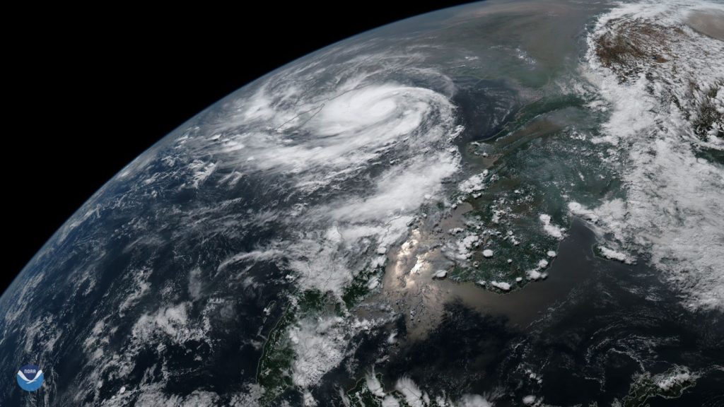
Satellite image of Cyclone Fani over the Bay of Bengal in 2019 (file image, not Cyclone Arnab), NOAA via Wikimedia Commons, public domain