


The India Meteorological Department has flagged an orange alert for very heavy rainfall in Chhattisgarh and Odisha as fresh rain sweeps across central and eastern India today.
Isolated areas in Chhattisgarh, east Madhya Pradesh, east Uttar Pradesh and Odisha face exceptionally heavy downpours, while Assam, Meghalaya, Arunachal Pradesh and Nagaland in the northeast also brace for torrential rain.
Northwest India, covering Himachal Pradesh, Uttarakhand, Punjab, Haryana and western Uttar Pradesh, is expected to see scattered to isolated heavy rainfall as part of the same system.
In Delhi-NCR, the IMD has forecast overcast skies with light to moderate rain through Sunday, with no severe flood warning currently active, though localised waterlogging is expected on the Delhi-Meerut Expressway and NH-9 underpasses.
The rain has been linked to two converging weather systems, an active atmospheric system over northeast Madhya Pradesh and a low-pressure area forming off the West Bengal-Bangladesh coast, with a monsoon trough stretching from Amritsar to the Bay of Bengal.
The spell arrives during an otherwise comparatively dry monsoon season, with cumulative rainfall through mid-August running about 12 percent below the Long Period Average.
Localised waterlogging is expected on low-lying stretches including the Delhi-Meerut Expressway, NH-9 underpasses, and parts of Indirapuram and Sahibabad in Ghaziabad.
This rain surge arrives during what has otherwise been a comparatively dry monsoon season this year, with cumulative rainfall through mid-August running about 12 percent below the Long Period Average.
Northwest India, including Himachal Pradesh, Uttarakhand, Punjab, Haryana and western Uttar Pradesh, is expected to see scattered to isolated heavy rainfall as part of the same system.
The IMD attributed the current spell to two converging weather systems: an active atmospheric system over northeast Madhya Pradesh combined with a low-pressure area forming off the West Bengal-Bangladesh coast.
A monsoon trough currently stretches from Amritsar all the way to the Bay of Bengal, a configuration that typically drives widespread rainfall across the belt it passes through.
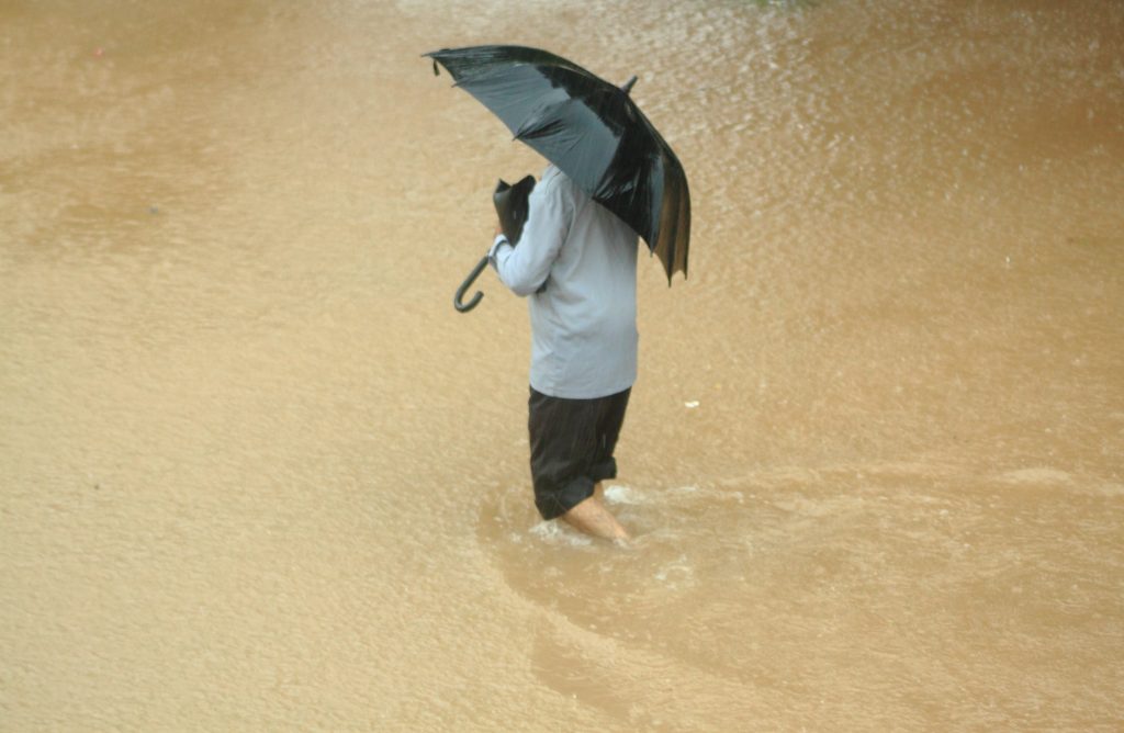
Photo by Harsh Mangal, Wikimedia Commons, CC BY-SA 2.0