
Weather
What is a deep depression, and why does it matter for the coast?
A low-pressure system over the Bay of Bengal is set to intensify into a deep depression on September 22, bringing heavy to very heavy rain to coastal Andhra Pradesh and Odisha, with winds gusting to 70 kmph.

A low-pressure system over the Bay of Bengal is set to become a deep depression on September 22.
The system is expected to bring heavy to very heavy rain to coastal Andhra Pradesh and Odisha.
Winds in the Bay of Bengal could gust to 70 kmph.
Fishermen are advised not to venture into affected waters.
The system could further influence weather over the following days.
Heavy to very heavy rainfall is expected over coastal Andhra Pradesh and Odisha between September 22 and 24.
Heavy rain is also forecast over Chhattisgarh, Gangetic West Bengal, Karnataka, Maharashtra, Telangana and parts of the Northeast.
Jharkhand is expected to see heavy rain with thunderstorms and lightning on September 22.
West Bengal and Sikkim are forecast to see thunderstorms, lightning and squally conditions.
West Madhya Pradesh is under a thunderstorm and lightning warning.
The latest bulletin did not include warnings for Delhi-NCR, Uttar Pradesh, Punjab, Himachal Pradesh, Jammu and Kashmir, or Rajasthan for September 22.
Delhi is expected to remain mainly clear, with a maximum temperature of around 35 degrees Celsius and a minimum of about 24 degrees.
Heavier rain and thunderstorm activity is expected to reach Uttar Pradesh from around September 24-25.
Fishermen have been advised not to venture into the Bay of Bengal in areas affected by the strengthening system.
Forecasts for weather systems like this can change as the system develops, so people in the affected coastal areas are advised to follow updated bulletins.
A low-pressure area over the east-central Bay of Bengal and adjoining north Andaman Sea intensified into a depression around September 21.
The India Meteorological Department expects it to strengthen further into a deep depression on September 22.
Winds over parts of the Bay of Bengal could reach 50 to 60 kmph, gusting to 70 kmph, on September 22.
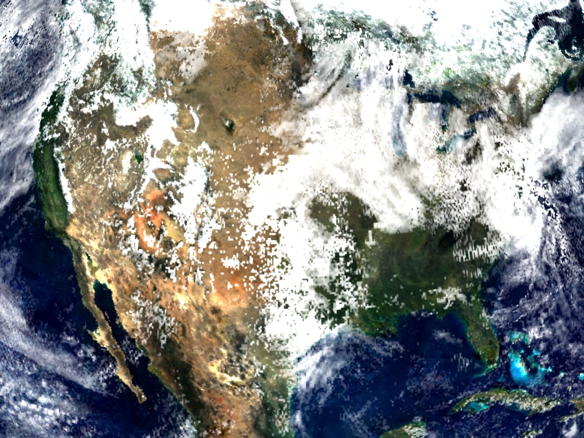
Tropical cyclone over the Bay of Bengal (NASA, representative image), Wikimedia Commons, public domain











Weather
Odisha, Chhattisgarh weather: Heavy rain likely at isolated places
The IMD has forecast heavy rain, thunderstorms and strong winds across 13 states on September 21, including coastal Andhra Pradesh, Tamil Nadu, Kerala, Odisha and Chhattisgarh, with winds of 40-50 kmph gusting to 60 kmph.

Heavy rain is forecast at isolated places over coastal Odisha on September 21.
Chhattisgarh is also expected to see isolated heavy rainfall.
West Bengal, Bihar and Jharkhand are among the states covered by the rain alert.
In Ranchi, showers and thunderstorms are likely, with a maximum near 32 degrees Celsius.
People are advised to avoid open fields during thunderstorms.
Tamil Nadu, Rayalaseema and parts of Karnataka may also see thunderstorms with lightning and gusty winds.
Winds of 40 to 50 kmph, with gusts up to 60 kmph, are expected in the affected regions.
Over the east-central and adjoining north-east Bay of Bengal, winds of 45 to 55 kmph, gusting to 65 kmph, are expected.
Kerala could receive heavy showers over the next few days, and a yellow alert has been issued in parts of the state.
A yellow alert for Kerala indicates the possibility of heavy rainfall in the range of 64.5 mm to 115.5 mm.
Heavy rain is forecast at isolated places over the Andaman and Nicobar Islands and coastal Odisha, and isolated heavy rainfall is forecast over Chhattisgarh.
In Jharkhand, Ranchi is expected to see one or two rounds of showers and thunderstorms, with a maximum near 32 degrees Celsius and a minimum near 23 degrees.
Fishermen are advised not to venture into the Bay of Bengal where strong winds are forecast.
People in affected areas are advised to avoid open fields, trees and electric poles during thunderstorms and to check local bulletins before travelling.
The wet spell comes as the southwest monsoon enters its withdrawal phase, although active weather continues over southern and eastern India.
The India Meteorological Department has issued rain and thunderstorm warnings for around 13 states for Monday, September 21, 2026.
The states named include Tamil Nadu, Andhra Pradesh, Telangana, Karnataka, Kerala, Odisha, West Bengal, Bihar, Jharkhand, Chhattisgarh, Konkan and Goa, and parts of the Northeast.
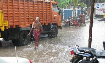
Monsoon clouds in Bengal, India (representative image), Wikimedia Commons, CC BY 2.0
Weather
Heavy to very heavy rain likely in Odisha, Chhattisgarh, Bengal on Sunday
The IMD has warned of heavy rain across southern India and heavy to very heavy rain in Odisha, Chhattisgarh and Gangetic West Bengal on September 20, with thunderstorms forecast for Delhi, Uttar Pradesh, Bihar and Jharkhand.
Heavy to very heavy rainfall is forecast for parts of Odisha, Chhattisgarh and Gangetic West Bengal on Sunday, September 20.
The Andaman and Nicobar Islands are also expected to see heavy to very heavy rain.
Thunderstorms and lightning are forecast over sub-Himalayan West Bengal, Jharkhand and Bihar.
Residents in flood-prone areas are advised to check local bulletins.
The active southwest monsoon is driving the wet spell over eastern India.
Reports counting the states affected by rain, thunderstorms and strong winds on Sunday put the number at 18, including Delhi, Uttar Pradesh, Bihar and Rajasthan.
Strong surface winds are very likely over parts of Andhra Pradesh and Telangana, while Tamil Nadu may see gusts of 40 to 50 kmph with isolated heavy rain.
Winds of up to 60 to 65 kmph are possible in vulnerable areas, according to a forecast summary.
Delhi-NCR is forecast to see rain and thunderstorms with winds of about 30 to 40 kmph, with a maximum temperature near 34 degrees Celsius and a minimum near 24 degrees Celsius.
Lucknow is expected to reach about 34 degrees Celsius with a minimum near 26 degrees, and rain in Uttar Pradesh may extend into September 21.
Patna is forecast to see a maximum of about 34 degrees Celsius and a minimum near 27 degrees Celsius, with widespread thunderstorms across Bihar.
Heavy rain in hilly areas may cause landslides and disrupt travel, and lightning and hail are possible in the hills.
The overall pattern is driven by an active southwest monsoon over central, eastern and southern India during the season’s withdrawal phase.
The weather department advises people to avoid open fields, trees and electric poles during thunderstorms and to check local bulletins before travelling.
The IMD has issued a heavy rainfall warning for Sunday, September 20, for parts of the Andaman and Nicobar Islands, Andhra Pradesh, Karnataka, Kerala, Tamil Nadu, Puducherry and Telangana.
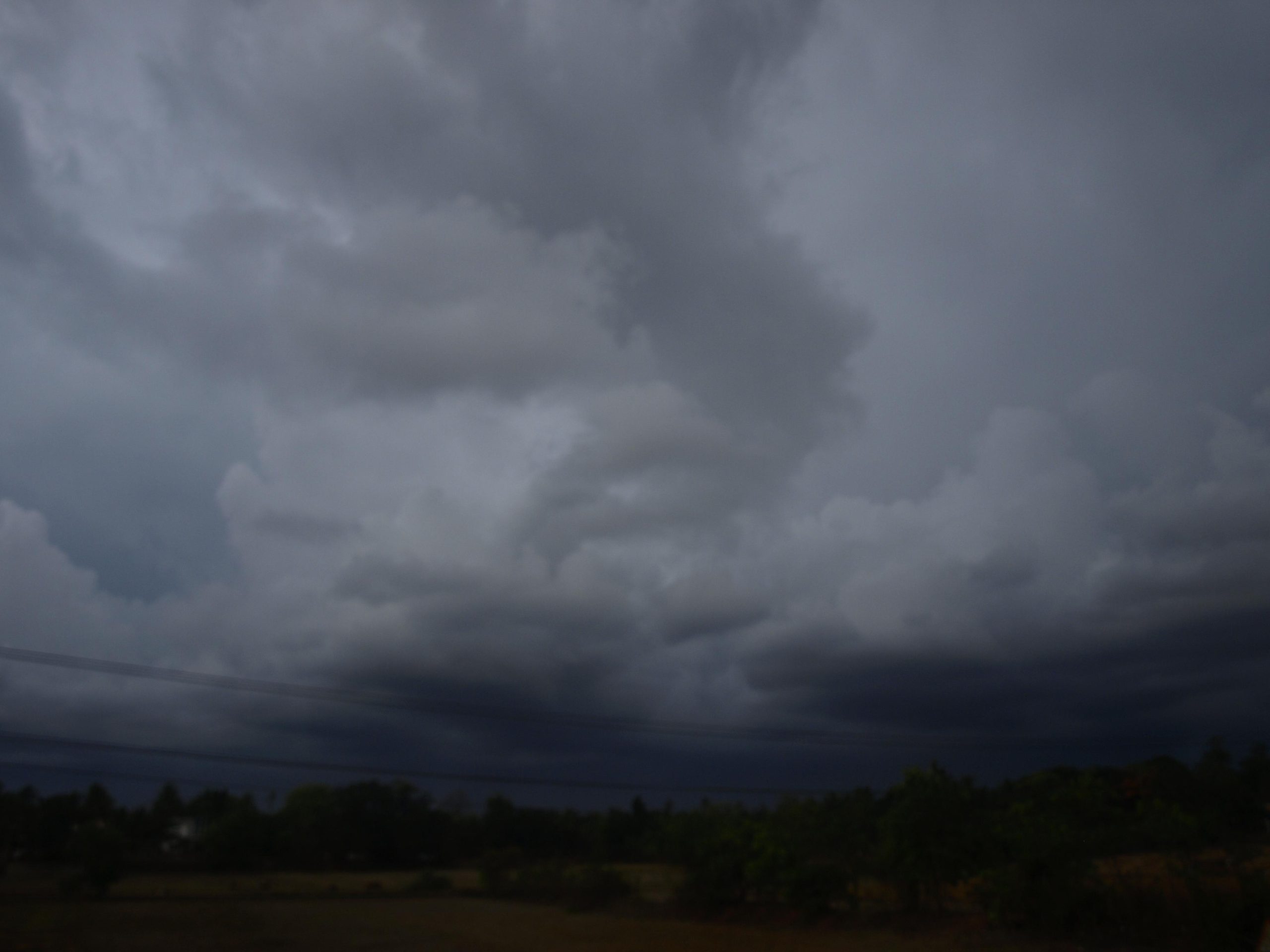
Rain clouds during the monsoon in Goa (representative image), Wikimedia Commons, CC BY-SA 2.0
Weather
Thunderstorm alert issued for entire Jharkhand, rain likely till Sept 20
The IMD has issued a thunderstorm and lightning alert for all 24 districts of Jharkhand from September 18 to 20, with light to moderate rain, gusts up to 40 kmph and maximum temperatures near 30-31 degrees Celsius.
The weather department has put all 24 districts of Jharkhand under a thunderstorm and lightning alert until September 20.
Light to moderate rain is expected across the state, and some places could see heavy showers during the three days.
Wind speeds of 30 to 40 kmph are anticipated, with southern and central districts most likely to feel the stronger gusts.
Temperatures will stay steady, with highs around 30 to 31 degrees Celsius and a Ranchi minimum near 22 degrees Celsius.
People are advised to stay indoors or in sturdy shelter when lightning is nearby and to keep away from trees and electric poles.
Maximum temperatures are likely to stay around 30 to 31 degrees Celsius, while the minimum in Ranchi is expected near 22 degrees Celsius.
Light to moderate rainfall is forecast across the state, with heavy showers possible at several locations during the three-day period.
Residents are advised to avoid standing in open fields, under trees or near electric poles while thunderstorms and lightning are active.
Farmers and outdoor workers have been urged to take shelter in sturdy buildings when lightning is seen or thunder is heard.
Ranchi recorded about 18 mm of rain on Tuesday, according to reported weather data, while Simdega logged 5 mm and Deoghar 3 mm.
The rainy spell arrives as the southwest monsoon begins its gradual withdrawal phase across India, though active weather can persist in the east for days.
The plateau districts around Ranchi, Khunti, Gumla, Simdega and Lohardaga are likely to feel relatively pleasant because of cloud cover and rain.
Lightning is a leading cause of weather-related deaths in Jharkhand, which is why the meteorological office repeats safety advice during every thunderstorm alert.
The alert period runs from September 18 to September 20, 2026, and covers every one of Jharkhand’s 24 districts.
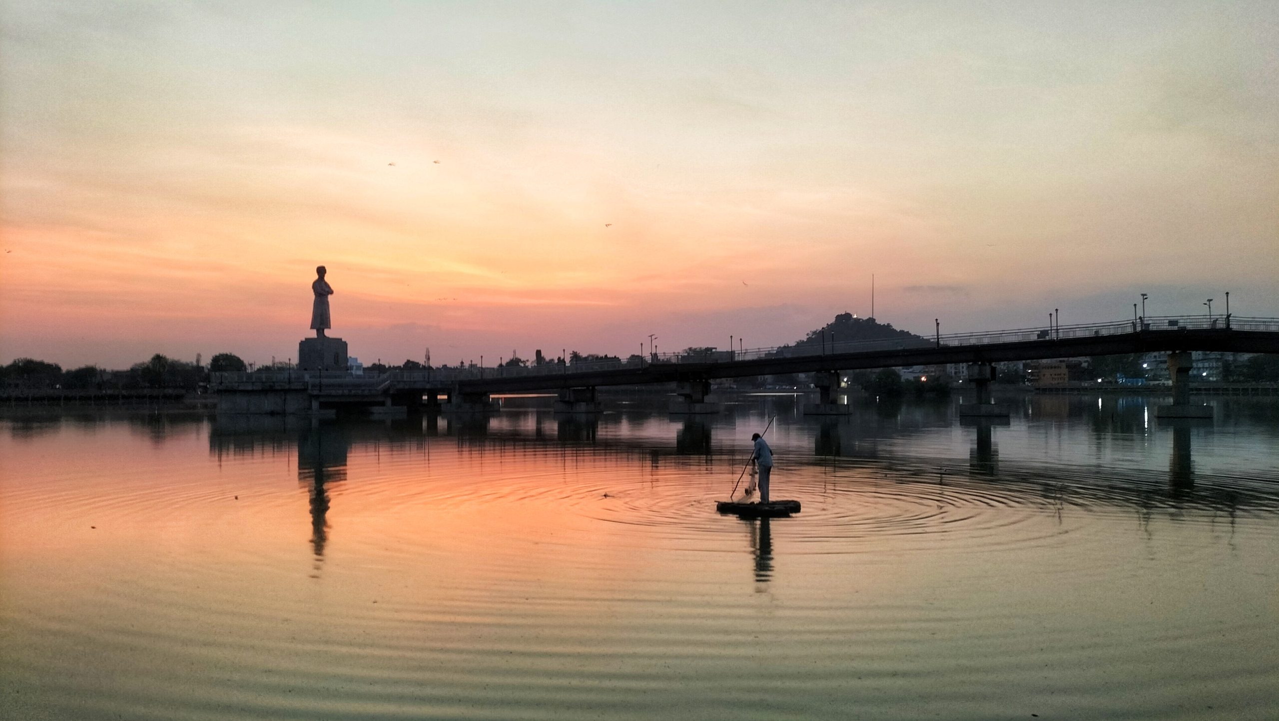
Ranchi lake, Jharkhand (representative image), Wikimedia Commons, CC BY-SA 4.0


Starship to fly reused heatshield tiles for the first time

Anant Nag receives Dadasaheb Phalke Award at National Film Awards

Shafali Verma’s century sets up Asian Games final against Sri Lanka

Redfox Overseas: Customize Your Own Energy Drink and Stand Out in the Market

Zamzam Company CEO Chhote Bhai-Bade Bhai gave a grand welcome to Indian writer Devhari Sirvi in Dubai

Shikha Sharma: The Fashion Journalist, Blogger, and Plus-Size Model Taking the Industry by Storm
-
 Brandpost2 years ago
Redfox Overseas: Customize Your Own Energy Drink and Stand Out in the Market
-
 Brandpost2 years ago
Zamzam Company CEO Chhote Bhai-Bade Bhai gave a grand welcome to Indian writer Devhari Sirvi in Dubai
-
 Fashion2 years ago
Shikha Sharma: The Fashion Journalist, Blogger, and Plus-Size Model Taking the Industry by Storm
-
Entertainment1 year ago
Lucky Roxx’s “Yadav Ki Pukar” Goes Viral! Youth Celebrate Unity & Power
-

 Entertainment9 years ago
New Season 8 Walking Dead trailer flashes forward in time
-
Entertainment9 years ago
Meet Superman’s grandfather in new trailer for Krypton
-
Uncategorized2 years ago
Hello world!
-

 Brandpost2 years ago
From Local Hero to National Icon: Satyam Yadav’s Journey with TwentyOne