
Weather
Chennai, Bengaluru see overcast skies and drizzle as monsoon continues
Chennai and Bengaluru are experiencing overcast skies with drizzle today, as the southwest monsoon continues to bring rain to South India.

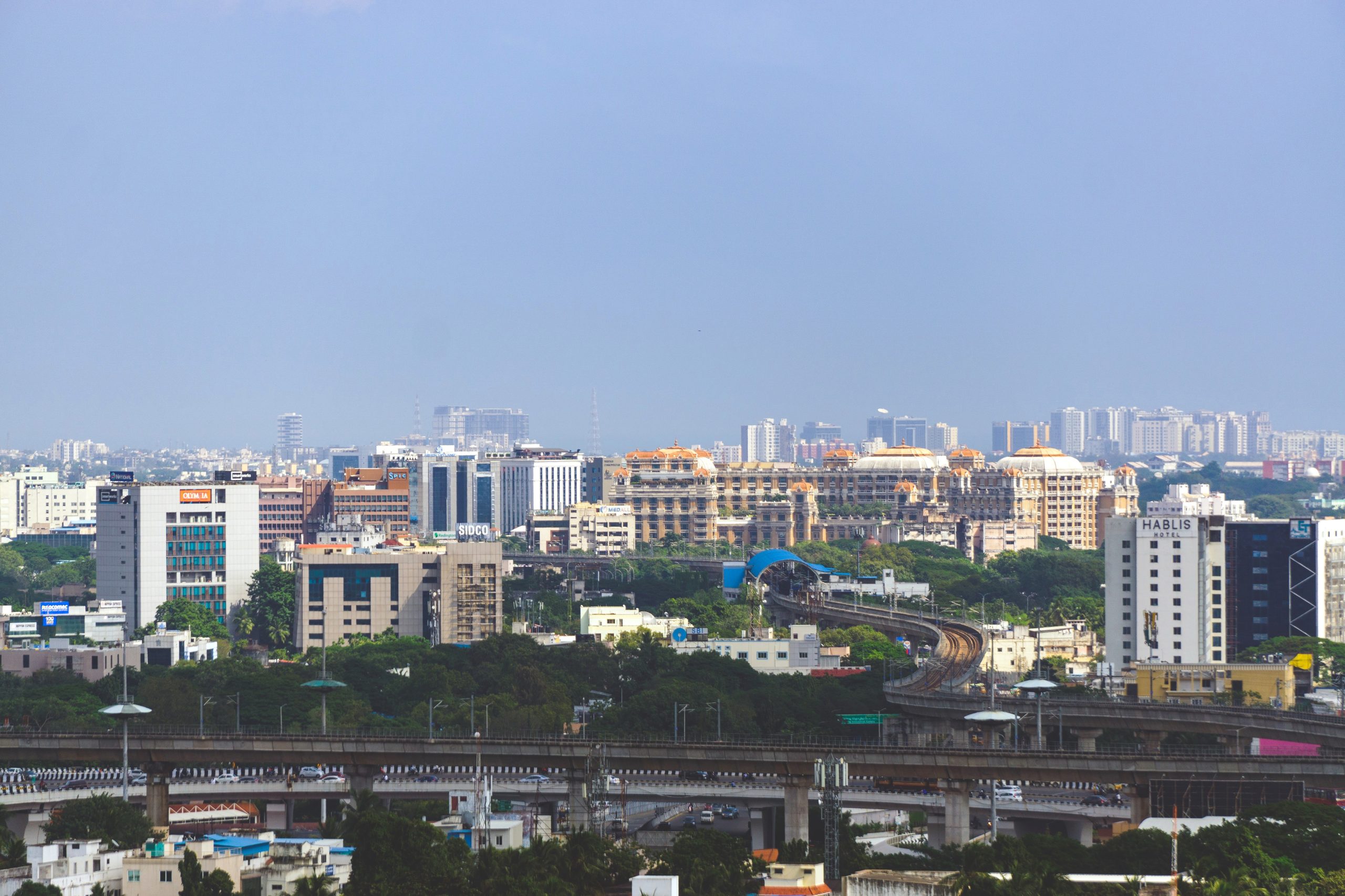
Chennai is expected to see overcast skies with drizzle today, with a high temperature of around 36 degrees Celsius, as the southwest monsoon continues to bring rain across South India.
Bengaluru is forecast to experience similar conditions, with overcast skies and moderate drizzle through the day, and a comparatively cooler high of around 29 degrees Celsius.
The rain in both cities comes as part of a broader weather system that has also brought heavy rainfall warnings to several northern and eastern states over the same period.
The current spell of rain over South India comes alongside the wider IMD warning system, which has flagged heavy to very heavy rainfall for around 20 states nationwide over the same period.
Residents in both cities have been advised to carry rain gear and allow extra travel time, particularly during the evening commute when localised waterlogging can occur at low-lying junctions.
The IMD typically issues updated city-level forecasts through the day, with conditions in coastal cities like Chennai able to shift quickly depending on the movement of the wider monsoon trough.
Moderate, intermittent rainfall of the kind forecast for Chennai and Bengaluru today is generally considered beneficial for standing crops in the surrounding agricultural belts of Tamil Nadu and Karnataka.
Both cities have municipal drainage systems that come under increased strain during sustained monsoon spells, a recurring seasonal concern for civic authorities in South India.
The southwest monsoon typically remains active over South India through September before gradually withdrawing, meaning further rounds of rain are likely across Tamil Nadu and Karnataka in the coming weeks.
Chennai in particular has a history of severe flooding during intense monsoon spells, most notably in 2015, which has kept drainage infrastructure a persistent point of civic focus in the city.
Bengaluru’s drizzle today follows a similar seasonal pattern, with the city’s own history of localised flooding around its numerous lakes and low-lying tech corridors making monsoon preparedness an annual civic priority.
Photo by Karthikeyan321, Wikimedia Commons, CC BY 4.0
Weather
Rain in the south and northeast, dry in Delhi: Weather on October 3
The IMD says the monsoon has completely withdrawn from Delhi-NCR, with clear and sunny weather forecast for October 3 to 5, a high of 36 degrees Celsius and an air quality index in the moderate category.
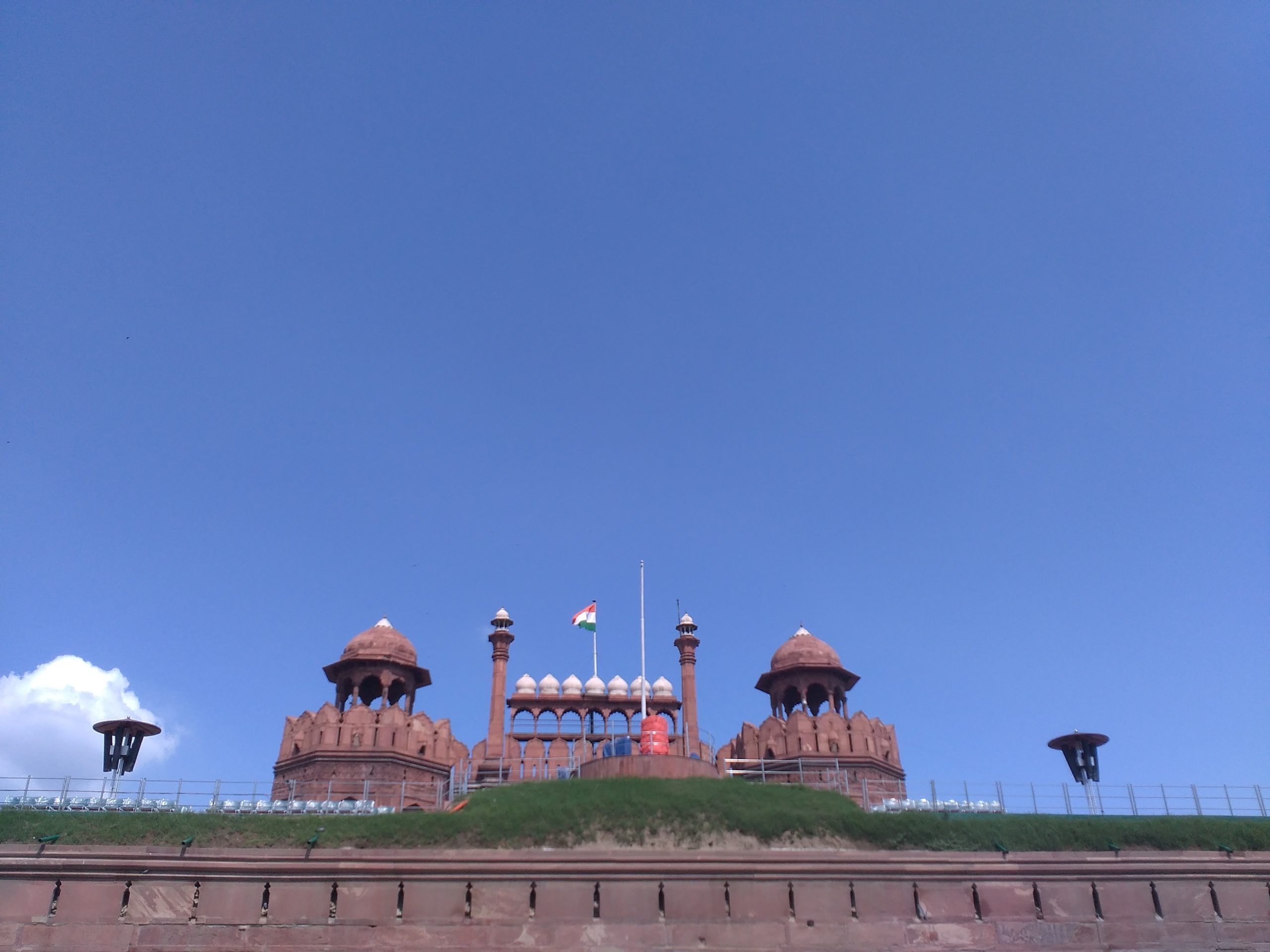
Kerala, Mahe, coastal Karnataka and Lakshadweep are forecast to get fairly widespread to widespread rainfall on October 3.
Arunachal Pradesh may see isolated heavy rainfall on October 3 and 4.
Delhi is forecast to stay clear and sunny, with a high of 36 degrees Celsius.
The IMD says the monsoon has completely withdrawn from Delhi-NCR.
No rain is expected in Delhi from October 3 to 5.
Daytime winds were forecast to be westerly at 20 to 22 km/h, easing to about 15 km/h in the evening and night.
Air quality in Delhi was in the moderate category.
Alipur recorded the highest reading among the stations reported, an air quality index of 198.
CRRI Mathura Road recorded 191, Punjabi Bagh 186 and Mandir Marg 154.
Patparganj recorded the lowest of the reported readings, at 133.
On the AQI scale, readings of 101 to 200 fall in the moderate category.
Elsewhere in India, rain continued in the south and northeast.
Kerala, Mahe, coastal Karnataka and Lakshadweep were forecast to get fairly widespread to widespread rainfall.
Arunachal Pradesh was forecast to see isolated heavy rainfall on October 3 and 4.
The withdrawal of the southwest monsoon from north India usually happens during September and October.
India’s air quality index scale runs from 0 to 500: 0 to 50 is good, 51 to 100 satisfactory, 101 to 200 moderate, 201 to 300 poor, 301 to 400 very poor and 401 to 500 severe.
Delhi’s winter pollution action plan takes effect from November 1 and runs through February 2027.
The plan includes staggered office timings, doubled parking charges and 50% work from home for certain sectors.
Delhi’s Integrated Command and Control Centre, launched on October 2, monitors pollution sources such as construction sites in real time.
The report on the monsoon’s withdrawal did not include any health advisories.
Red Fort, New Delhi under a clear sky (file image), Wikimedia Commons, CC BY-SA 4.0
Weather
Why Delhi stays dry while the south braces for rain
The IMD forecast isolated heavy rainfall for Kerala, coastal Karnataka, Tamil Nadu and Northeast India on October 1, with thunderstorms and gusty winds, even as Delhi, Haryana and Punjab stayed dry with rising temperatures.

Delhi is forecast to remain dry on October 1, even as southern India braces for isolated heavy rain.
Kerala, coastal Karnataka, Tamil Nadu and Northeast India are among the areas flagged by the IMD.
Thunderstorms and gusty winds are expected in the affected southern regions.
Haryana and Punjab are also forecast to stay dry.
Delhi’s temperatures were expected to rise through the day.
The contrasting forecast reflects how India’s weather can vary significantly across regions during early October.
Southern and northeastern India continue to see rain spells even as northern India transitions out of the monsoon season.
Coastal Karnataka districts are typically more prone to heavy rain events than the state’s interior regions.
The IMD issues regular forecasts covering rainfall, temperature and wind conditions across India’s states.
Kerala and the Northeast often see late-season rainfall extending into October in a typical monsoon withdrawal year.
Residents in areas with heavy rainfall forecasts are generally advised to avoid waterlogged roads and stay updated on local alerts.
Weather warnings of this kind are typically issued a day or two in advance to allow for local preparedness.
India’s monsoon season officially winds down through September and October, with the exact timing varying by region each year.
State disaster management authorities in the affected regions routinely monitor conditions during periods of forecast heavy rain.
The IMD tracks weather systems using satellite imagery, radar and a network of surface observation stations.
Fishermen along affected coastlines are typically advised to avoid venturing into the sea during periods of thunderstorm activity.
Gusty winds accompanying thunderstorms can pose risks to loose structures, trees and power lines in affected areas.
The IMD forecast isolated heavy rainfall for Kerala, coastal Karnataka, Tamil Nadu and Northeast India on October 1.
Thunderstorms and gusty winds were expected to accompany the rain in several southern areas.
Monsoon rain in Kerala (representative image), Wikimedia Commons, CC BY-SA 4.0
Weather
Northeast India, Maharashtra see rain as Delhi stays dry
The IMD issued a yellow alert for Mumbai, Pune, Nagpur, Nashik and Satara on September 30 for thundershowers across Konkan and Madhya Maharashtra, even as Delhi stayed dry with clear skies and a high of 31°C.
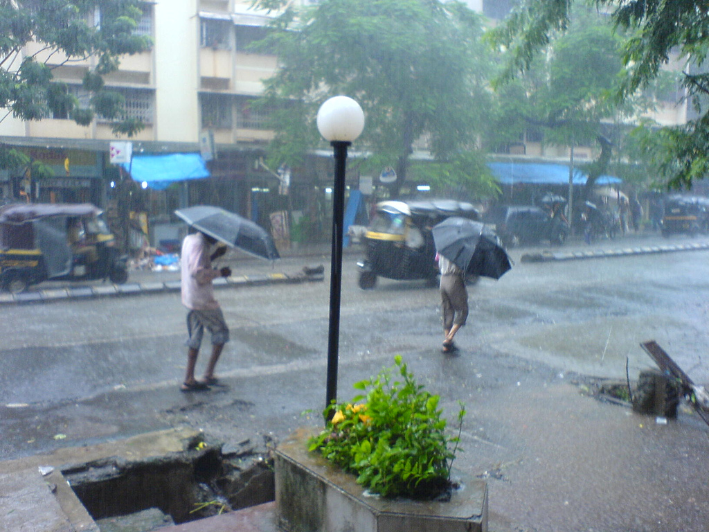
Northeast India, including Assam and Meghalaya, is forecast to see widespread rainfall on September 30.
Maharashtra is separately under a yellow alert for rain in Mumbai, Pune, Nagpur, Nashik and Satara.
Delhi, meanwhile, is forecast to remain dry with clear skies and a high of 31 degrees Celsius.
The IMD said Delhi’s dry spell is expected to continue until October 5.
Weather conditions vary significantly across India’s regions on any given day.
Delhi, by contrast, is forecast to remain dry with clear skies on September 30.
Delhi’s maximum temperature was expected to reach 31 degrees Celsius, with lows around 22 degrees Celsius.
There was a 0% chance of rain forecast for Delhi on the day.
The IMD said Delhi’s dry spell is likely to continue until October 5.
Northeast India, including Assam, Meghalaya, Nagaland, Manipur, Mizoram and Tripura, was forecast to see fairly widespread to widespread rainfall on September 30.
A yellow alert indicates a need for general awareness, one level below the more serious orange and red alerts.
Maharashtra typically sees late-season rain spells through September and into early October as the monsoon withdraws.
Local authorities in flagged districts often issue additional advisories during yellow-alert conditions.
Weather patterns can vary significantly across India on any given day given the country’s size and diverse geography.
The IMD tracks regional weather systems using satellite imagery, radar and surface observation stations.
Coastal Konkan districts typically see heavier and more frequent late-season rain than inland Maharashtra.
Local disaster management authorities in Maharashtra routinely monitor low-lying and flood-prone areas during yellow-alert periods.
Farmers in the affected districts have separately been advised to take precautions for standing crops during the rain spell.
Weather forecasts of this kind are updated multiple times a day as regional systems evolve.
The IMD issued a yellow alert for parts of Maharashtra on September 30.
Mumbai monsoon rain (representative image), Wikimedia Commons, CC BY-SA 2.0


The Lutyens by MDB Group: A New Benchmark for Luxury Living in the Tricity

Mahatma Gandhi Ayurvigyan Vidyapeeth, Nagpur: A Focus on Yoga, Naturopathy and Healthcare Skills Education

Free Forever Vector Database Platforms for Building AI Applications in 2026

Redfox Overseas: Customize Your Own Energy Drink and Stand Out in the Market

Zamzam Company CEO Chhote Bhai-Bade Bhai gave a grand welcome to Indian writer Devhari Sirvi in Dubai

Shikha Sharma: The Fashion Journalist, Blogger, and Plus-Size Model Taking the Industry by Storm
-
 Brandpost2 years ago
Redfox Overseas: Customize Your Own Energy Drink and Stand Out in the Market
-
 Brandpost2 years ago
Zamzam Company CEO Chhote Bhai-Bade Bhai gave a grand welcome to Indian writer Devhari Sirvi in Dubai
-
 Fashion2 years ago
Shikha Sharma: The Fashion Journalist, Blogger, and Plus-Size Model Taking the Industry by Storm
-
Entertainment2 years ago
Lucky Roxx’s “Yadav Ki Pukar” Goes Viral! Youth Celebrate Unity & Power
-

 Entertainment9 years ago
New Season 8 Walking Dead trailer flashes forward in time
-
Entertainment9 years ago
Meet Superman’s grandfather in new trailer for Krypton
-
Uncategorized2 years ago
Hello world!
-

 Brandpost2 years ago
From Local Hero to National Icon: Satyam Yadav’s Journey with TwentyOne