
Weather
IMD flags orange alert for Uttarakhand, Chhattisgarh amid heavy rain
The IMD has issued an orange alert for heavy to very heavy rainfall over Uttarakhand and Chhattisgarh today, with heavy rain also forecast across several other states.

The India Meteorological Department has issued an orange alert for heavy to very heavy rainfall over Uttarakhand and Chhattisgarh today.
The IMD has also forecast heavy rainfall over Haryana, Chandigarh, Himachal Pradesh, Punjab, Uttar Pradesh, Bihar, Rajasthan, Jharkhand, Madhya Pradesh and parts of Northeast India through the day.
An orange alert signals authorities to remain prepared for disruptive weather, a step below the more severe red alert reserved for extremely heavy rainfall.
The Met Department has also forecast thunderstorms with lightning and gusty winds over Jammu and Kashmir, Andhra Pradesh, Kerala, Mahe, Karnataka, Tamil Nadu, Puducherry, Karaikal, Lakshadweep and the Andaman and Nicobar Islands for the day.
Squally weather with wind speeds up to 60 kmph has been predicted off the north Andhra Pradesh coast and over the Andaman Sea region, prompting advisories for fishermen to avoid venturing into these waters.
Residents in the affected hill and central Indian states have been advised to stay updated with local district administration alerts as the rainfall spell continues through the day.
The IMD’s district-level warnings are updated multiple times a day and are used by state disaster management authorities to plan evacuation and relief measures ahead of expected heavy spells.
India’s southwest monsoon typically begins to withdraw from parts of northwest India in September, but late-August spells of heavy rain remain common across the central and northern plains.
The Met Department has also forecast thunderstorms with lightning and gusty winds over Jammu and Kashmir, Andhra Pradesh, Kerala, Mahe, Karnataka, Tamil Nadu, Puducherry, Karaikal, Lakshadweep and the Andaman and Nicobar Islands for the day.
Squally weather with wind speeds up to 60 kmph has been predicted off the north Andhra Pradesh coast and over the Andaman Sea region, prompting advisories for fishermen to avoid venturing into these waters.
An orange alert signals authorities to ‘be prepared’ for disruptive weather, while a red alert calls for ‘take action’, with the two levels marking a step up from the yellow ‘watch’ advisory typically issued a day or two in advance.
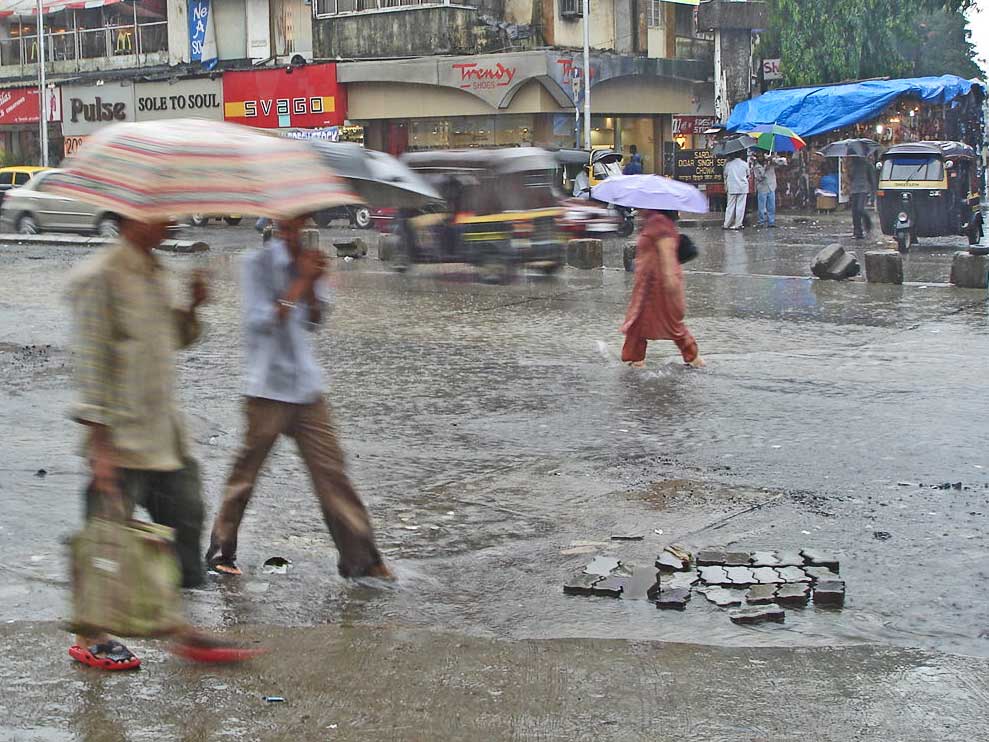
Photo by PlaneMad, Wikimedia Commons, CC BY-SA 3.0









Weather
Weather on October 6: State-by-state IMD forecast
The India Meteorological Department has forecast heavy rain in parts of south India and light rain with thunderstorms in Delhi on October 6 as the monsoon withdraws, with Delhi’s air quality expected to turn poor within three days.
Delhi, Haryana and Chandigarh: light to moderate rain, thunderstorms and strong winds.
Kerala, Karnataka, Tamil Nadu and Puducherry: heavy rain at places.
Himachal Pradesh: thunderstorms with gusts of 30 to 40 kmph on October 6 and 7.
Bihar: rain from October 6 to 9. Odisha: rain from October 6 to 11.
Jammu and Kashmir and Ladakh: fairly widespread to widespread rain.
Delhi’s daytime high was forecast near 36 degrees Celsius and the night-time low near 24 degrees Celsius on Monday, October 5.
Delhi’s air quality could deteriorate to the poor category within three days, which could trigger the first stage of the Graded Response Action Plan, or GRAP.
Heavy rain is forecast on October 6 in parts of Kerala and Mahe, South Interior Karnataka, Tamil Nadu, Puducherry and Karaikal, with a yellow alert.
Rainfall in those areas is forecast in the 64.5 mm to 115.5 mm range at some places, according to India.com.
Thunderstorms with lightning and gusty winds of 30 to 40 kmph, gusting to 50 kmph, are likely in Himachal Pradesh on October 6 and 7.
Fairly widespread to widespread rain is forecast over Jammu and Kashmir and Ladakh on October 6.
Rain is expected in Bihar from October 6 to 9 and in Odisha from October 6 to 11.
Haryana, Chandigarh and Delhi can expect thunderstorms, light to moderate rain and strong winds.
Eastern and western Uttar Pradesh may see moderate to heavy rain, with highs of 32 to 33 degrees and lows of 23 to 24 degrees, according to The Week.
Hilly states face landslide risks, and a mild cold wave is expected in the plains by mid-October, according to The Week.
The IMD uses yellow, orange and red alerts, and a yellow alert means that people should be aware of the weather and stay updated.
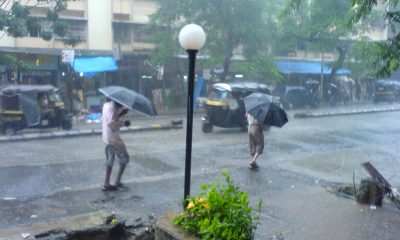
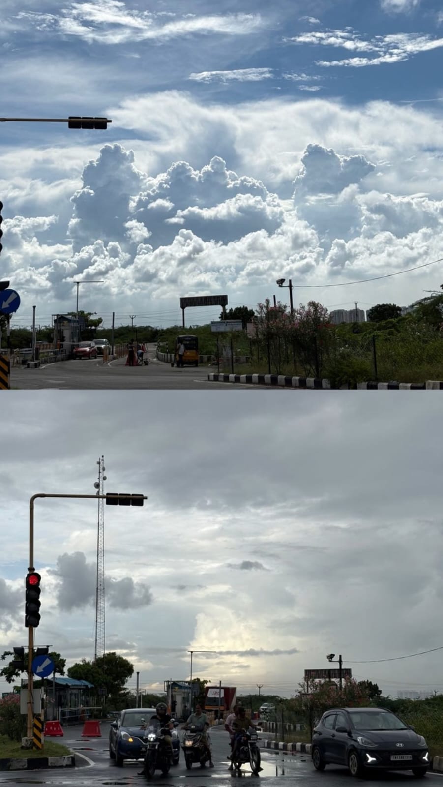
Monsoon clouds over a city (representative image), Wikimedia Commons, CC BY-SA 4.0
Weather
Rain in the south and northeast, dry in Delhi: Weather on October 3
The IMD says the monsoon has completely withdrawn from Delhi-NCR, with clear and sunny weather forecast for October 3 to 5, a high of 36 degrees Celsius and an air quality index in the moderate category.
Kerala, Mahe, coastal Karnataka and Lakshadweep are forecast to get fairly widespread to widespread rainfall on October 3.
Arunachal Pradesh may see isolated heavy rainfall on October 3 and 4.
Delhi is forecast to stay clear and sunny, with a high of 36 degrees Celsius.
The IMD says the monsoon has completely withdrawn from Delhi-NCR.
No rain is expected in Delhi from October 3 to 5.
Daytime winds were forecast to be westerly at 20 to 22 km/h, easing to about 15 km/h in the evening and night.
Air quality in Delhi was in the moderate category.
Alipur recorded the highest reading among the stations reported, an air quality index of 198.
CRRI Mathura Road recorded 191, Punjabi Bagh 186 and Mandir Marg 154.
Patparganj recorded the lowest of the reported readings, at 133.
On the AQI scale, readings of 101 to 200 fall in the moderate category.
Elsewhere in India, rain continued in the south and northeast.
Kerala, Mahe, coastal Karnataka and Lakshadweep were forecast to get fairly widespread to widespread rainfall.
Arunachal Pradesh was forecast to see isolated heavy rainfall on October 3 and 4.
The withdrawal of the southwest monsoon from north India usually happens during September and October.
India’s air quality index scale runs from 0 to 500: 0 to 50 is good, 51 to 100 satisfactory, 101 to 200 moderate, 201 to 300 poor, 301 to 400 very poor and 401 to 500 severe.
Delhi’s winter pollution action plan takes effect from November 1 and runs through February 2027.
The plan includes staggered office timings, doubled parking charges and 50% work from home for certain sectors.
Delhi’s Integrated Command and Control Centre, launched on October 2, monitors pollution sources such as construction sites in real time.
The report on the monsoon’s withdrawal did not include any health advisories.
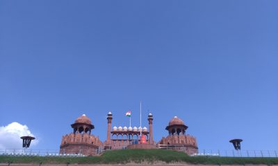
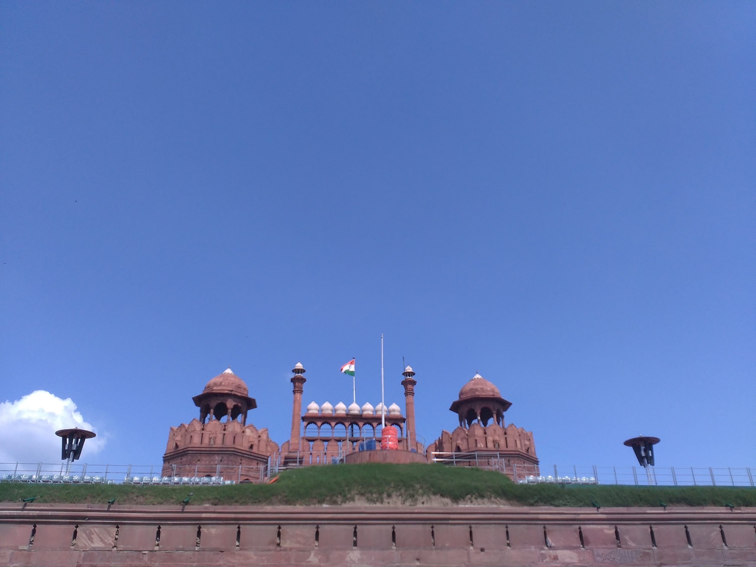
Red Fort, New Delhi under a clear sky (file image), Wikimedia Commons, CC BY-SA 4.0
Weather
Why Delhi stays dry while the south braces for rain
The IMD forecast isolated heavy rainfall for Kerala, coastal Karnataka, Tamil Nadu and Northeast India on October 1, with thunderstorms and gusty winds, even as Delhi, Haryana and Punjab stayed dry with rising temperatures.

Delhi is forecast to remain dry on October 1, even as southern India braces for isolated heavy rain.
Kerala, coastal Karnataka, Tamil Nadu and Northeast India are among the areas flagged by the IMD.
Thunderstorms and gusty winds are expected in the affected southern regions.
Haryana and Punjab are also forecast to stay dry.
Delhi’s temperatures were expected to rise through the day.
The contrasting forecast reflects how India’s weather can vary significantly across regions during early October.
Southern and northeastern India continue to see rain spells even as northern India transitions out of the monsoon season.
Coastal Karnataka districts are typically more prone to heavy rain events than the state’s interior regions.
The IMD issues regular forecasts covering rainfall, temperature and wind conditions across India’s states.
Kerala and the Northeast often see late-season rainfall extending into October in a typical monsoon withdrawal year.
Residents in areas with heavy rainfall forecasts are generally advised to avoid waterlogged roads and stay updated on local alerts.
Weather warnings of this kind are typically issued a day or two in advance to allow for local preparedness.
India’s monsoon season officially winds down through September and October, with the exact timing varying by region each year.
State disaster management authorities in the affected regions routinely monitor conditions during periods of forecast heavy rain.
The IMD tracks weather systems using satellite imagery, radar and a network of surface observation stations.
Fishermen along affected coastlines are typically advised to avoid venturing into the sea during periods of thunderstorm activity.
Gusty winds accompanying thunderstorms can pose risks to loose structures, trees and power lines in affected areas.
The IMD forecast isolated heavy rainfall for Kerala, coastal Karnataka, Tamil Nadu and Northeast India on October 1.
Thunderstorms and gusty winds were expected to accompany the rain in several southern areas.
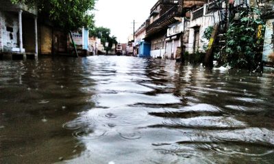
Monsoon rain in Kerala (representative image), Wikimedia Commons, CC BY-SA 4.0


Pranab Kr Nath: The Sabroom-Born Actor, Filmmaker and Musical Artist Building a Multidisciplinary Career in Tripura

Satveer Saini: From Television Acting to Building His Own Crystal Bracelet Brand SatVEERA

Book Review | The Fifth Biopsy by Rohit Agarwal

Redfox Overseas: Customize Your Own Energy Drink and Stand Out in the Market

Zamzam Company CEO Chhote Bhai-Bade Bhai gave a grand welcome to Indian writer Devhari Sirvi in Dubai

Shikha Sharma: The Fashion Journalist, Blogger, and Plus-Size Model Taking the Industry by Storm
-
 Brandpost2 years ago
Redfox Overseas: Customize Your Own Energy Drink and Stand Out in the Market
-
 Brandpost2 years ago
Zamzam Company CEO Chhote Bhai-Bade Bhai gave a grand welcome to Indian writer Devhari Sirvi in Dubai
-
 Fashion2 years ago
Shikha Sharma: The Fashion Journalist, Blogger, and Plus-Size Model Taking the Industry by Storm
-
Entertainment2 years ago
Lucky Roxx’s “Yadav Ki Pukar” Goes Viral! Youth Celebrate Unity & Power
-

 Entertainment9 years ago
New Season 8 Walking Dead trailer flashes forward in time
-
Entertainment9 years ago
Meet Superman’s grandfather in new trailer for Krypton
-
Uncategorized2 years ago
Hello world!
-

 Brandpost2 years ago
From Local Hero to National Icon: Satyam Yadav’s Journey with TwentyOne