Weather
IMD red alert warns of extremely heavy rain in Odisha, Chhattisgarh
The IMD has warned of extremely heavy rain in Odisha and Chhattisgarh as a deep depression tracks across eastern India.
The India Meteorological Department has warned of extremely heavy rain in Odisha and Chhattisgarh as a deep depression tracks across eastern India, prompting a red alert.
The depression is currently positioned over north interior Odisha and adjoining Gangetic West Bengal, moving west-northwestwards at roughly 12 kilometres per hour.
The IMD expects the system to move further across north Odisha, south Jharkhand and north Chhattisgarh in the next 24 hours, bringing heavy to very heavy rainfall.
Isolated areas under the red alert could receive extremely heavy rain of more than 204.5 millimetres, with concerns raised over flooding and waterlogging.
An orange alert is in force for Haryana, Chandigarh, Punjab, western Madhya Pradesh, Nagaland, Manipur, Mizoram and Tripura, where heavy to very heavy rain is expected.
Rain alerts also apply to Delhi, Maharashtra, Gujarat, Karnataka, Rajasthan, Uttar Pradesh, Uttarakhand, Himachal Pradesh, West Bengal and Bihar amid warnings of thunderstorms and gusty winds.
The IMD has asked residents in hilly areas to watch for landslides and advised motorists to steer clear of waterlogged roads during the alert.
Officials said they would continue tracking the depression closely and issue updated warnings as the situation develops.
In a press release on July 28, the IMD forecast normal to above-normal monsoon rainfall over northwest and central India for the next four to five days, adding that the monsoon trough is expected to remain near its usual position through the week.
The IMD’s alert system is colour-coded from green through yellow and orange to red, with red warnings reserved for conditions serious enough to require immediate precautionary steps from state authorities and the public.
The IMD typically classifies a weather system as a deep depression when sustained wind speeds near its centre reach between 51 and 61 kilometres per hour, one step below a full cyclonic storm in intensity.
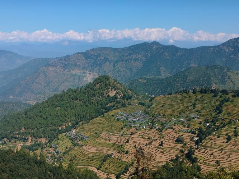
(Image: Photo by McKay Savage from London, UK, Wikimedia Commons, CC BY 2.0)
Weather
IMD flags heavy rain risk in 16 states, warns of strong winds
The IMD has issued a heavy rainfall and thunderstorm alert for 16 states including Uttar Pradesh, Bihar, Rajasthan and West Bengal, with winds up to 70 kmph forecast through September 14.
The IMD has flagged a heavy rain risk across 16 states, alongside a warning for winds reaching 70 kmph in the most exposed areas.
The alert spans September 8 to 14 and covers Uttar Pradesh, Bihar, Rajasthan, Madhya Pradesh, West Bengal, Jharkhand and Odisha.
Prayagraj, Kanpur, Mirzapur, Meerut, Aligarh, Mathura, Varanasi and Gorakhpur are among the Uttar Pradesh districts flagged for heavy rainfall.
In West Bengal, Purba Bardhaman, Hooghly, Bankura and South 24 Parganas districts are expected to see heavy rain through Thursday.
Himachal Pradesh and Uttarakhand were forecast to see rain with thunderstorms, raising the risk of landslides in the hill states.
Himachal Pradesh and Uttarakhand were forecast to see rain accompanied by thunderstorms, conditions that raise the risk of landslides in the hill states.
Eastern India, including Jharkhand, Bihar and Odisha, was flagged for heavy showers and strong winds as part of the same weather system.
The IMD’s 16-state alert spans Uttar Pradesh, Bihar, Rajasthan, Madhya Pradesh, West Bengal, Jharkhand, Odisha, Himachal Pradesh and Uttarakhand, among other states.
Authorities in flood-prone districts have been advised to monitor river levels closely given the scale and duration of the forecast rainfall.
September rainfall of this intensity typically coincides with the tail end of the southwest monsoon season, before the seasonal withdrawal pattern begins later in the month.
The IMD’s forecast covers a wide window from September 8 to 14, meaning the wet spell affecting these states is expected to persist for close to a week.
In Uttar Pradesh, specific districts flagged for heavy rainfall include Prayagraj, Gautam Budh Nagar, Kanpur, Mirzapur, Deoria, Shahjahanpur, Meerut, Ambedkar Nagar, Aligarh, Mathura, Balrampur, Bahraich, Varanasi, Ramnagar and Gorakhpur.
West Bengal districts including Purba Bardhaman, Hooghly, Bankura, Purba Medinipur, Paschim Medinipur and South 24 Parganas are expected to see heavy rainfall through Thursday.
Wind speeds of up to 70 kmph were forecast in the most affected areas, adding to the hazard posed by heavy rainfall alone.
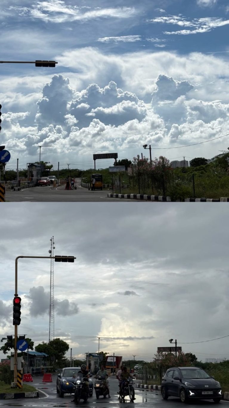
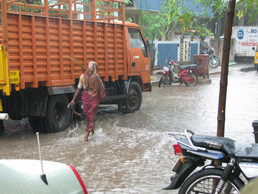
Monsoon rain, Chennai, India, Wikimedia Commons, CC BY 2.0
Weather
IMD flags heavy rain, thunderstorm risk in 15 states
The IMD has issued a heavy rain and thunderstorm alert for 15 states including West Bengal, Bihar, Uttarakhand and the northeast, with wind speeds up to 70 kmph and landslide risk in hill states.
The India Meteorological Department has flagged a heavy rain and thunderstorm risk across 15 states in its latest warning.
The states under alert include Bihar, Chhattisgarh, West Bengal, Nagaland, Manipur, Mizoram, Tripura, Assam, Meghalaya, Odisha, Uttarakhand, Himachal Pradesh, Jammu & Kashmir, and parts of eastern Uttar Pradesh and Madhya Pradesh.
Wind speeds of up to 70 kmph are expected, with hill states including Himachal Pradesh facing an increased chance of landslides.
The IMD noted that river levels are rising rapidly in many of the alerted states, a factor that could add to flooding risk in the coming days.
Hilly states including Himachal Pradesh, Uttarakhand and Jammu & Kashmir face an elevated risk of landslides and flash floods as rivers in several states are rising rapidly.
Southern India is expected to see comparatively subdued weather activity during this spell, with only isolated showers forecast rather than the widespread rain seen elsewhere.
The northeastern states of Nagaland, Manipur, Mizoram, Tripura, Assam and Meghalaya are all included in the alert, reflecting a broad band of monsoon activity stretching across the region.
Authorities in low-lying and hill-state districts have been advised to stay alert for waterlogging, landslides and possible disruption to road and rail traffic during the alert period.
The IMD’s warning system uses colour-coded alerts, with the current advisory urging residents in the affected states to exercise caution given the combination of heavy rain and strong winds.
A low-pressure area over southwest Uttar Pradesh and surrounding areas is expected to bring heavy to very heavy rainfall at isolated places in Uttarakhand and western Uttar Pradesh.
West Bengal is under a very heavy rain warning, with widespread rainfall expected across the Gangetic plains of the state from September 7 to 10.
Jharkhand is likely to see widespread rainfall from September 8 to 11, while Odisha’s spell is expected between September 10 and 12, according to the IMD’s regional outlook.
Monsoon clouds over Bengal, India, Wikimedia Commons, CC BY 2.0
Weather
IMD issues very heavy rain warning for Rajasthan, MP districts
The IMD has forecast very heavy rain over East Rajasthan and West Madhya Pradesh, including Jaipur, Udaipur, Indore and Bhopal, as a low-pressure system drives an active monsoon spell.
The IMD has issued a very heavy rain warning for districts in East Rajasthan and West Madhya Pradesh, including Jaipur, Udaipur, Indore and Bhopal.
The warning points to heavy to very heavy showers across numerous districts in the two states over the coming days.
A well-marked low-pressure system over northern Madhya Pradesh and southern Uttar Pradesh, along with an active monsoon trough, is driving the current spell.
Heavy rain is also forecast for Haryana, Chandigarh, Punjab, West Uttar Pradesh, Himachal Pradesh and Uttarakhand as the system tracks across the north.
The IMD projects the rainfall to persist in Madhya Pradesh through at least September 8.
Maharashtra is expected to see comparatively lighter rain, with light to moderate showers forecast for Palghar, Thane, Mumbai and Raigad, and no heavy-rain warning issued for the state.
Delhi-NCR is also under a heavy rain and thunderstorm forecast, with daytime temperatures expected to range between 35 and 36 degrees Celsius.
The rainfall pattern is being driven by a well-marked low-pressure system positioned over northern Madhya Pradesh and southern Uttar Pradesh, combined with an active monsoon trough.
The IMD projects sustained rainfall activity to continue in Madhya Pradesh through at least September 8, indicating the wet spell is not expected to ease quickly.
Authorities in the affected districts have been advised to remain alert for waterlogging and localised flooding given the intensity of the forecast rainfall.
Heavy rainfall is also expected across Haryana, Chandigarh, Punjab, West Uttar Pradesh, Himachal Pradesh and Uttarakhand as the same system moves through north India.
Bihar has also been placed under a heavy shower alert, with the monsoon trough extending its influence further east across the Gangetic plains.
In the northeast, Arunachal Pradesh, Assam, Meghalaya, Nagaland, Manipur, Mizoram and Tripura are all expected to see similar heavy rainfall conditions.
South India faces a different hazard, with thunderstorms, lightning and gusty winds of 40-50 km/h forecast over Andhra Pradesh, Tamil Nadu, Puducherry and interior Karnataka.
Photo by McKay Savage, Wikimedia Commons, CC BY 2.0
-
Brandpost2 years agoRedfox Overseas: Customize Your Own Energy Drink and Stand Out in the Market
-
Brandpost2 years agoZamzam Company CEO Chhote Bhai-Bade Bhai gave a grand welcome to Indian writer Devhari Sirvi in Dubai
-
Fashion2 years agoShikha Sharma: The Fashion Journalist, Blogger, and Plus-Size Model Taking the Industry by Storm
-
Entertainment1 year ago
Lucky Roxx’s “Yadav Ki Pukar” Goes Viral! Youth Celebrate Unity & Power
-
Entertainment9 years agoNew Season 8 Walking Dead trailer flashes forward in time
-
Entertainment9 years agoMeet Superman’s grandfather in new trailer for Krypton
-
Brandpost2 years agoFrom Local Hero to National Icon: Satyam Yadav’s Journey with TwentyOne
-
Uncategorized2 years ago
Hello world!