Connect with us

Weather

Kerala yellow alert, fishing ban as widespread rain grips state today

The IMD has issued a yellow alert for Kannur, Kozhikode and Wayanad as widespread rain hits Kerala today, with a fishing ban in place along the coast through August 25.

Published

on

Widespread rain is gripping Kerala today, with the India Meteorological Department issuing a yellow alert for Kannur, Kozhikode and Wayanad districts.

The IMD said widespread rain is likely across the state through Sunday, driven by a cyclonic circulation that has formed over the Bay of Bengal and the coasts of Odisha and Andhra Pradesh.

Fishing has been banned along Kerala’s coastline and in Lakshadweep, with authorities warning of rough sea conditions and advising against launching or retrieving fishing vessels during the alert period.

The weather department has also flagged the possibility of the Kallakkadal phenomenon, an intense wave activity that can affect low-lying coastal areas even without a storm directly overhead.

Fishermen and coastal residents have been urged to avoid danger areas and follow official instructions, with small boats and yachts told not to launch until conditions improve.

The fishing advisory is in effect through August 25, covering the period during which the state is expected to see continued spells of rain and rough seas.

This weekend’s rain adds to what has otherwise been a slightly below-average monsoon season nationally, with cumulative rainfall through mid-August running about 12 percent below the Long Period Average.

Kerala’s monsoon season typically brings periodic spells of heavy rain and rough sea conditions through the second half of August, with the state’s disaster management authority monitoring rainfall data closely during this period.

The alert has been triggered by a cyclonic circulation that has formed over the Bay of Bengal and the coasts of Odisha and Andhra Pradesh.

The IMD has also flagged the possibility of the Kallakkadal phenomenon, a form of intense wave activity that can affect low-lying coastal areas even without a storm directly overhead.

Fishermen and coastal residents have been advised to avoid danger areas and follow official instructions, with small boats and yachts told not to launch during this period.

Photo by Josephgeorge23, Wikimedia Commons, CC BY-SA 4.0

Continue Reading
Click to comment

Leave a Reply

Your email address will not be published. Required fields are marked *

Weather

Orange alert for Chhattisgarh, Odisha as IMD flags heavy rain today

The IMD has issued an orange alert for very heavy rainfall in Chhattisgarh and Odisha, with Delhi-NCR expecting overcast skies and light-to-moderate rain through Sunday.

Published

on

The India Meteorological Department has flagged an orange alert for very heavy rainfall in Chhattisgarh and Odisha as fresh rain sweeps across central and eastern India today.

Isolated areas in Chhattisgarh, east Madhya Pradesh, east Uttar Pradesh and Odisha face exceptionally heavy downpours, while Assam, Meghalaya, Arunachal Pradesh and Nagaland in the northeast also brace for torrential rain.

Northwest India, covering Himachal Pradesh, Uttarakhand, Punjab, Haryana and western Uttar Pradesh, is expected to see scattered to isolated heavy rainfall as part of the same system.

In Delhi-NCR, the IMD has forecast overcast skies with light to moderate rain through Sunday, with no severe flood warning currently active, though localised waterlogging is expected on the Delhi-Meerut Expressway and NH-9 underpasses.

The rain has been linked to two converging weather systems, an active atmospheric system over northeast Madhya Pradesh and a low-pressure area forming off the West Bengal-Bangladesh coast, with a monsoon trough stretching from Amritsar to the Bay of Bengal.

The spell arrives during an otherwise comparatively dry monsoon season, with cumulative rainfall through mid-August running about 12 percent below the Long Period Average.

Localised waterlogging is expected on low-lying stretches including the Delhi-Meerut Expressway, NH-9 underpasses, and parts of Indirapuram and Sahibabad in Ghaziabad.

This rain surge arrives during what has otherwise been a comparatively dry monsoon season this year, with cumulative rainfall through mid-August running about 12 percent below the Long Period Average.

Northwest India, including Himachal Pradesh, Uttarakhand, Punjab, Haryana and western Uttar Pradesh, is expected to see scattered to isolated heavy rainfall as part of the same system.

The IMD attributed the current spell to two converging weather systems: an active atmospheric system over northeast Madhya Pradesh combined with a low-pressure area forming off the West Bengal-Bangladesh coast.

A monsoon trough currently stretches from Amritsar all the way to the Bay of Bengal, a configuration that typically drives widespread rainfall across the belt it passes through.

Photo by Harsh Mangal, Wikimedia Commons, CC BY-SA 2.0

Continue Reading

Weather

Assam flood toll crosses 100, over 7 lakh displaced as damage widens

More than 100 people have been killed and 700,000 displaced in Assam’s floods, with 1.2 million impacted overall as questions grow over the role of mining alongside heavy rainfall.

Published

on

Assam’s flood toll has crossed 100 deaths, with over 700,000 people displaced and 1.2 million impacted overall as the scale of the damage keeps widening.

About 2,700 villages have been destroyed, with Sivasagar district in upper Assam among the worst-hit areas, along with Mon district across the border in Nagaland.

The flooding followed heavy rainfall in the Naga Hills between July 18 and 20, which triggered sudden surges in tributaries flowing into Assam’s lowlands.

A local vlogger described the scale of destruction, saying trees as tall as 30 to 40 metres came crashing down from the hills, leaving no homes standing, and calling it “a tsunami.”

Government officials have blamed excessive rainfall and climate change for the disaster, while opposition legislators and researchers argue that unregulated riverbed mining has played a direct role in worsening it.

Among the tragic stories to emerge is one involving two friends of different faiths who died together, after a Hindu man drowned trying to save a Muslim woman caught in the floodwaters.

The Brahmaputra river’s heavy sediment load steadily weakens embankments over time, and nearly 40 percent of Assam’s total land area is considered vulnerable to flooding in a typical monsoon season.

Assam floods almost every year during the monsoon, but this year’s disaster was unusual in that floodwaters from cloudburst-driven tributary surges arrived before the Brahmaputra itself reached peak levels, catching low-lying areas off guard.

The worst-hit districts include Sivasagar, Charaideo, Jorhat and Golaghat in upper Assam, along with Mon district across the border in neighbouring Nagaland.

Researchers point to unrestrained stone mining along riverbeds such as the Dikhow as a contributing factor, arguing it has stripped away the natural cushioning that once absorbed flood surges.

Deforestation data shows Nagaland lost 14 percent of its tree cover between 2002 and 2025, with Mon district among the worst affected, a factor experts say has worsened runoff into Assam’s rivers.

Photo by EU Civil Protection and Humanitarian Aid, Wikimedia Commons, CC BY-SA 2.0

Continue Reading

Weather

Chennai, Bengaluru see overcast skies and drizzle as monsoon continues

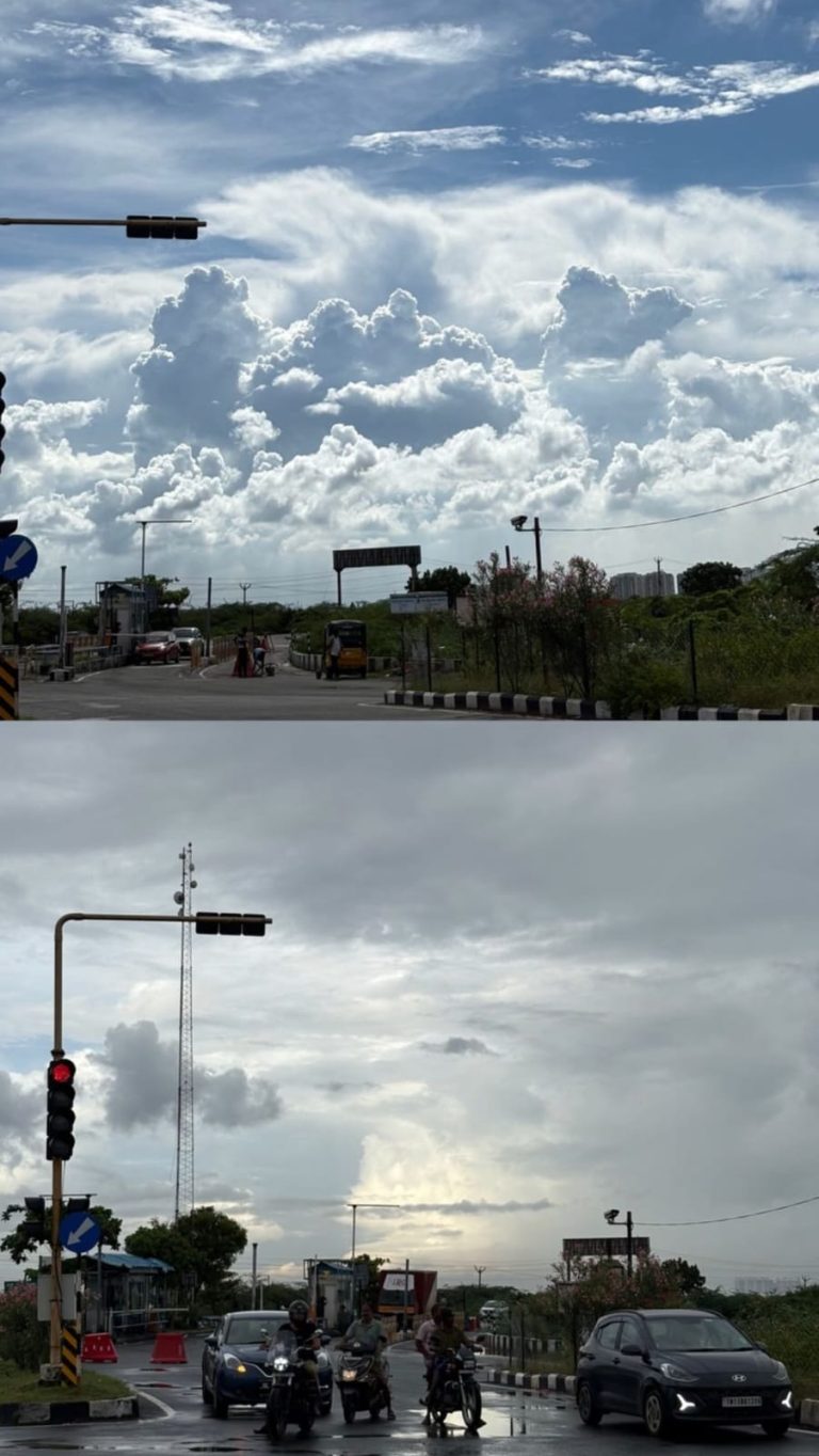
Chennai and Bengaluru are experiencing overcast skies with drizzle today, as the southwest monsoon continues to bring rain to South India.

Published

on

Chennai is expected to see overcast skies with drizzle today, with a high temperature of around 36 degrees Celsius, as the southwest monsoon continues to bring rain across South India.

Bengaluru is forecast to experience similar conditions, with overcast skies and moderate drizzle through the day, and a comparatively cooler high of around 29 degrees Celsius.

The rain in both cities comes as part of a broader weather system that has also brought heavy rainfall warnings to several northern and eastern states over the same period.

The current spell of rain over South India comes alongside the wider IMD warning system, which has flagged heavy to very heavy rainfall for around 20 states nationwide over the same period.

Residents in both cities have been advised to carry rain gear and allow extra travel time, particularly during the evening commute when localised waterlogging can occur at low-lying junctions.

The IMD typically issues updated city-level forecasts through the day, with conditions in coastal cities like Chennai able to shift quickly depending on the movement of the wider monsoon trough.

Moderate, intermittent rainfall of the kind forecast for Chennai and Bengaluru today is generally considered beneficial for standing crops in the surrounding agricultural belts of Tamil Nadu and Karnataka.

Both cities have municipal drainage systems that come under increased strain during sustained monsoon spells, a recurring seasonal concern for civic authorities in South India.

The southwest monsoon typically remains active over South India through September before gradually withdrawing, meaning further rounds of rain are likely across Tamil Nadu and Karnataka in the coming weeks.

Chennai in particular has a history of severe flooding during intense monsoon spells, most notably in 2015, which has kept drainage infrastructure a persistent point of civic focus in the city.

Bengaluru’s drizzle today follows a similar seasonal pattern, with the city’s own history of localised flooding around its numerous lakes and low-lying tech corridors making monsoon preparedness an annual civic priority.

Photo by Karthikeyan321, Wikimedia Commons, CC BY 4.0

Continue Reading

Trending