Weather
Orange alert in Odisha as IMD flags very heavy rain from today
The IMD has issued an orange alert for Mayurbhanj and Balasore districts in Odisha, forecasting very heavy rainfall from August 29 as a fresh low-pressure system moves through the region.
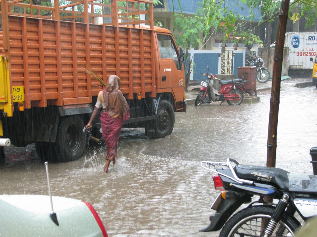
An orange alert is in force for Odisha’s Mayurbhanj and Balasore districts after the India Meteorological Department forecast very heavy rainfall from August 29, driven by a fresh low-pressure system.
The IMD has also placed 19 other districts under a yellow warning, with isolated pockets expected to see very heavy rain as the system moves across the state.
The rain is forecast to peak between August 29 and September 1, with Odisha’s active spell expected to run through September 2 as the low-pressure system continues to track inland.
Districts under the orange alert face a high risk of waterlogging, localised flooding and disrupted travel, according to the weather department’s advisory.
This marks the latest in a series of low-pressure-driven rain spells to hit Odisha during the current monsoon season.
Tamil Nadu and Puducherry have been placed under a thunderstorm and lightning warning as the wider weather system continues to move across the country.
The active rain spell over Odisha is expected to continue through September 2, with the heaviest rainfall in the state forecast between August 29 and September 1.
Authorities in the affected districts have been advised to remain on alert given the risk of waterlogging, localised flooding and disrupted travel during the peak of the rain spell.
The fresh low-pressure system driving the current spell is the latest in a series of such systems to affect eastern and central India during this year’s monsoon season.
IMD’s district-level warnings are colour-coded, with orange indicating authorities should be prepared for disruptive weather and yellow signalling a need for increased vigilance, a step below the more severe red alert.
The IMD has also issued heavy rain warnings for Bihar, Jharkhand, Chhattisgarh, Gangetic West Bengal, east Madhya Pradesh and Sikkim through the day.
Northeastern states including Arunachal Pradesh, Assam, Meghalaya, Nagaland, Manipur, Mizoram and Tripura are also under alert for heavy rainfall at isolated locations, with warnings for Nagaland, Manipur, Mizoram and Tripura extending across multiple days ahead.
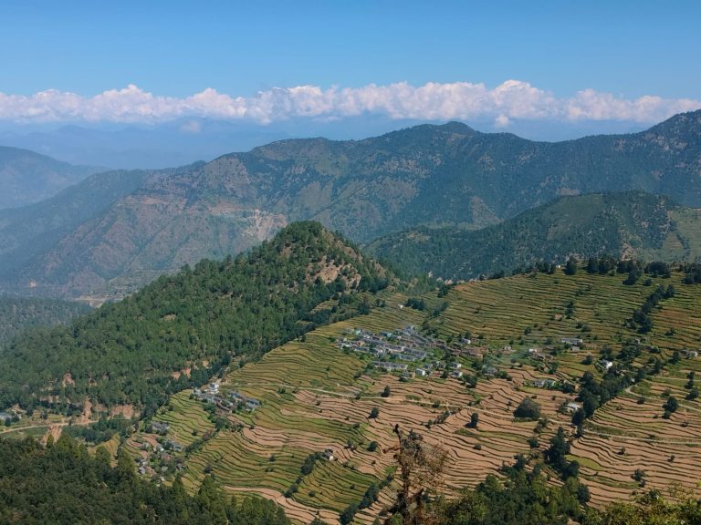
Photo by McKay Savage, Wikimedia Commons, CC BY 2.0 (representative monsoon rain image)
Weather
Heavy to very heavy rain likely in Odisha, Chhattisgarh, Bengal on Sunday
The IMD has warned of heavy rain across southern India and heavy to very heavy rain in Odisha, Chhattisgarh and Gangetic West Bengal on September 20, with thunderstorms forecast for Delhi, Uttar Pradesh, Bihar and Jharkhand.
Heavy to very heavy rainfall is forecast for parts of Odisha, Chhattisgarh and Gangetic West Bengal on Sunday, September 20.
The Andaman and Nicobar Islands are also expected to see heavy to very heavy rain.
Thunderstorms and lightning are forecast over sub-Himalayan West Bengal, Jharkhand and Bihar.
Residents in flood-prone areas are advised to check local bulletins.
The active southwest monsoon is driving the wet spell over eastern India.
Reports counting the states affected by rain, thunderstorms and strong winds on Sunday put the number at 18, including Delhi, Uttar Pradesh, Bihar and Rajasthan.
Strong surface winds are very likely over parts of Andhra Pradesh and Telangana, while Tamil Nadu may see gusts of 40 to 50 kmph with isolated heavy rain.
Winds of up to 60 to 65 kmph are possible in vulnerable areas, according to a forecast summary.
Delhi-NCR is forecast to see rain and thunderstorms with winds of about 30 to 40 kmph, with a maximum temperature near 34 degrees Celsius and a minimum near 24 degrees Celsius.
Lucknow is expected to reach about 34 degrees Celsius with a minimum near 26 degrees, and rain in Uttar Pradesh may extend into September 21.
Patna is forecast to see a maximum of about 34 degrees Celsius and a minimum near 27 degrees Celsius, with widespread thunderstorms across Bihar.
Heavy rain in hilly areas may cause landslides and disrupt travel, and lightning and hail are possible in the hills.
The overall pattern is driven by an active southwest monsoon over central, eastern and southern India during the season’s withdrawal phase.
The weather department advises people to avoid open fields, trees and electric poles during thunderstorms and to check local bulletins before travelling.
The IMD has issued a heavy rainfall warning for Sunday, September 20, for parts of the Andaman and Nicobar Islands, Andhra Pradesh, Karnataka, Kerala, Tamil Nadu, Puducherry and Telangana.
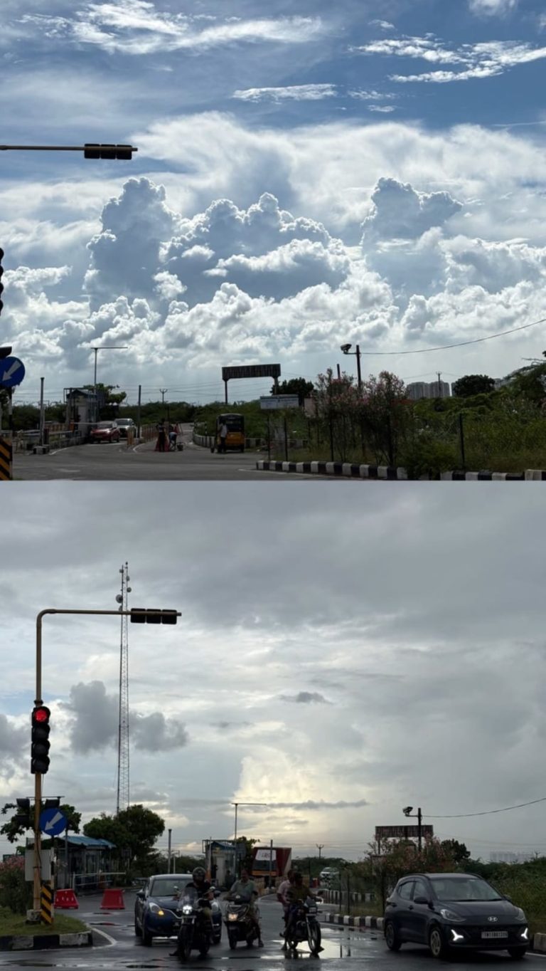
Rain clouds during the monsoon in Goa (representative image), Wikimedia Commons, CC BY-SA 2.0
Weather
Thunderstorm alert issued for entire Jharkhand, rain likely till Sept 20
The IMD has issued a thunderstorm and lightning alert for all 24 districts of Jharkhand from September 18 to 20, with light to moderate rain, gusts up to 40 kmph and maximum temperatures near 30-31 degrees Celsius.
The weather department has put all 24 districts of Jharkhand under a thunderstorm and lightning alert until September 20.
Light to moderate rain is expected across the state, and some places could see heavy showers during the three days.
Wind speeds of 30 to 40 kmph are anticipated, with southern and central districts most likely to feel the stronger gusts.
Temperatures will stay steady, with highs around 30 to 31 degrees Celsius and a Ranchi minimum near 22 degrees Celsius.
People are advised to stay indoors or in sturdy shelter when lightning is nearby and to keep away from trees and electric poles.
Maximum temperatures are likely to stay around 30 to 31 degrees Celsius, while the minimum in Ranchi is expected near 22 degrees Celsius.
Light to moderate rainfall is forecast across the state, with heavy showers possible at several locations during the three-day period.
Residents are advised to avoid standing in open fields, under trees or near electric poles while thunderstorms and lightning are active.
Farmers and outdoor workers have been urged to take shelter in sturdy buildings when lightning is seen or thunder is heard.
Ranchi recorded about 18 mm of rain on Tuesday, according to reported weather data, while Simdega logged 5 mm and Deoghar 3 mm.
The rainy spell arrives as the southwest monsoon begins its gradual withdrawal phase across India, though active weather can persist in the east for days.
The plateau districts around Ranchi, Khunti, Gumla, Simdega and Lohardaga are likely to feel relatively pleasant because of cloud cover and rain.
Lightning is a leading cause of weather-related deaths in Jharkhand, which is why the meteorological office repeats safety advice during every thunderstorm alert.
The alert period runs from September 18 to September 20, 2026, and covers every one of Jharkhand’s 24 districts.
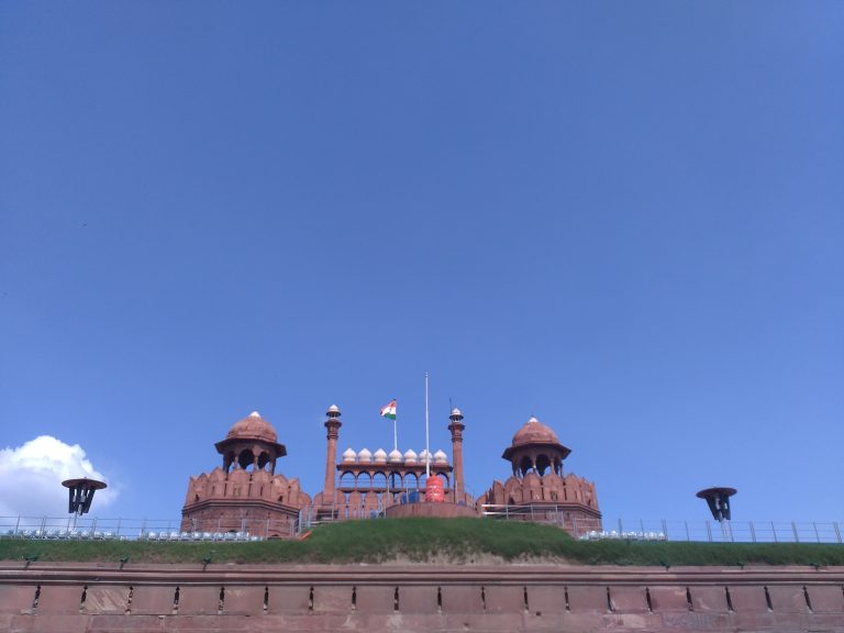
Ranchi lake, Jharkhand (representative image), Wikimedia Commons, CC BY-SA 4.0
Weather
IMD predicts very heavy rain in West Bengal, Sikkim this week
The IMD has forecast very heavy rainfall in sub-Himalayan West Bengal and Sikkim, heavy rain in Bihar and Odisha, and thunderstorms in Himachal Pradesh, J&K and Punjab through September 23.
The IMD has predicted very heavy rainfall in sub-Himalayan West Bengal and Sikkim as part of an active weather system through September 23.
Bihar and Odisha are forecast to see heavy rain through September 18, while Chhattisgarh is expected to receive heavy rainfall between September 20 and 23.
Thunderstorms with heavy rain are forecast for Himachal Pradesh, Jammu and Kashmir, and Punjab during the same period.
Widespread rain is also expected over east Madhya Pradesh, Vidarbha, Konkan and Goa, Gujarat, Kerala, and the Andaman and Nicobar Islands.
Gusty winds of up to 60 kmph are forecast across Gujarat, Maharashtra, Tamil Nadu and coastal Andhra Pradesh as the monsoon enters its withdrawal phase.
Gusty winds of 30-50 kmph are expected over Gujarat, Konkan and Goa, Saurashtra and Kutch, and Madhya Maharashtra.
Stronger gusts of 40-60 kmph have been forecast for Tamil Nadu, Puducherry and Karaikal, Coastal Andhra Pradesh, and Rayalaseema.
The IMD’s bulletin covers the period from September 17 to 23, describing active weather conditions across multiple zones as the southwest monsoon enters its withdrawal phase.
The monsoon’s withdrawal is expected to begin from parts of northwest India in the coming days, even as active rainfall continues in the eastern and southern regions.
Isolated heavy rainfall was recorded over East Rajasthan on September 17-18, alongside the wider spell of rain affecting northern and eastern states.
Residents in affected states have been advised to stay updated with local IMD bulletins and avoid non-essential travel during periods of heavy rainfall or strong winds.
The India Meteorological Department typically issues color-coded alerts (yellow, orange and red) as conditions intensify, urging precautionary measures in the most severely affected districts.
Heavy rainfall is also forecast for Bihar and Odisha through September 18, with Chhattisgarh expected to see heavy rain between September 20 and 23.
Himachal Pradesh, Jammu and Kashmir, and Punjab are under alert for heavy rainfall accompanied by thunderstorms during the forecast period.
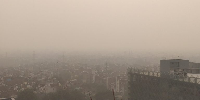
Monsoon clouds over a city (representative image), Wikimedia Commons, CC BY-SA 4.0
-
Brandpost2 years agoRedfox Overseas: Customize Your Own Energy Drink and Stand Out in the Market
-
Brandpost2 years agoZamzam Company CEO Chhote Bhai-Bade Bhai gave a grand welcome to Indian writer Devhari Sirvi in Dubai
-
Fashion2 years agoShikha Sharma: The Fashion Journalist, Blogger, and Plus-Size Model Taking the Industry by Storm
-
Entertainment1 year ago
Lucky Roxx’s “Yadav Ki Pukar” Goes Viral! Youth Celebrate Unity & Power
-
Entertainment9 years agoNew Season 8 Walking Dead trailer flashes forward in time
-
Entertainment9 years agoMeet Superman’s grandfather in new trailer for Krypton
-
Uncategorized2 years ago
Hello world!
-
Brandpost2 years agoFrom Local Hero to National Icon: Satyam Yadav’s Journey with TwentyOne